
The Peak District National Park, in central England is one of our favourite National Parks in the world when it comes to hiking. The spectacular views, the experience, the hills, the different terrains in our opinion are utterly unique – great for a hiking adventure! In our opinion, the Peak District National Park offers some of the best hiking in England.Over time, we’ve tried out so many walking trails in Peak District that we’ve absolutely loved and there is so much to explore here. We hope you enjoy these Peak District hiking routes as much as we do!
The Peak District is at the Southern end of the Pennines and spans into a number of counties – Derbyshire, Cheshire, Greater Manchester, Staffordshire, West Yorkshire and South Yorkshire and was one of the first National Parks to be established in England in 1951. It is one of the most busy National Parks in England due to its accessibility from numerous locations – with over 20 million people living within an hours drive of the park. It is steeped in history – with many landmarks and earthworks dating back to Bronze and Iron times. The area, geologically, is really interesting too – and this can usually be split and categorised as The White Peak and The Dark Peak. The White Peak – limestone valleys, gorges and plateaus and The Dark Peak – with moorlands and gritstone. The area is incredibly popular for hiking, climbing and cyclists and there are plentiful wild swimming spots to be found too. What we love about Peak District hiking is that it can be really accessible and there is something to suit many tastes.
Peak District Hiking in Brief: 14 of the best hikes in the Peak District
- Alport Castles
- Kinder and Kinder Downfall
- Dovedale and Thorpe Cloud
- Dovedale Stepping Stones
- Curbar Edge, Froggatt Edge and White Edge
- Stanage Edge
- The Roaches and Lud’s Chruch
- Lathkill Dale and Monyash
- Chrome Hill and Parkhouse Hill
- Castleton – Mam Tor – The Great Ridge
- Hope to Hollins Cross
- Kinder Downfall via The High Peak
- Bleaklow Head from Doctors Gate
- Derwent Edge from Ladybower Reservoir
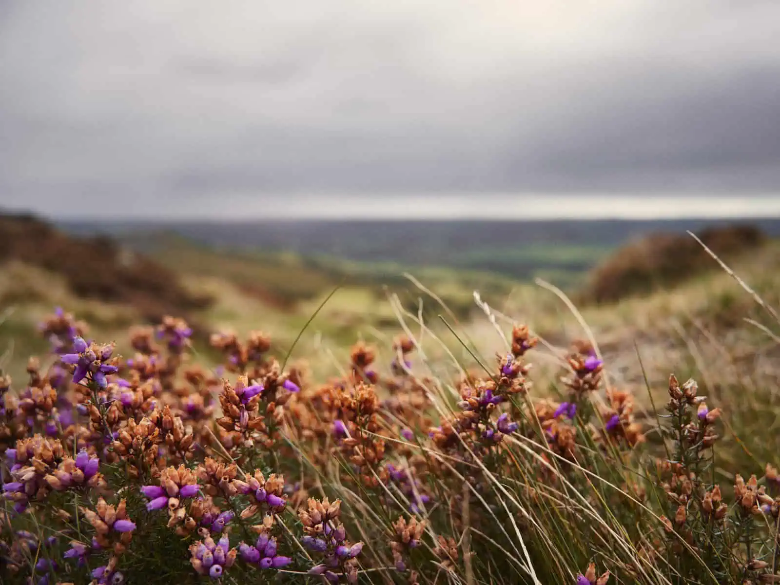
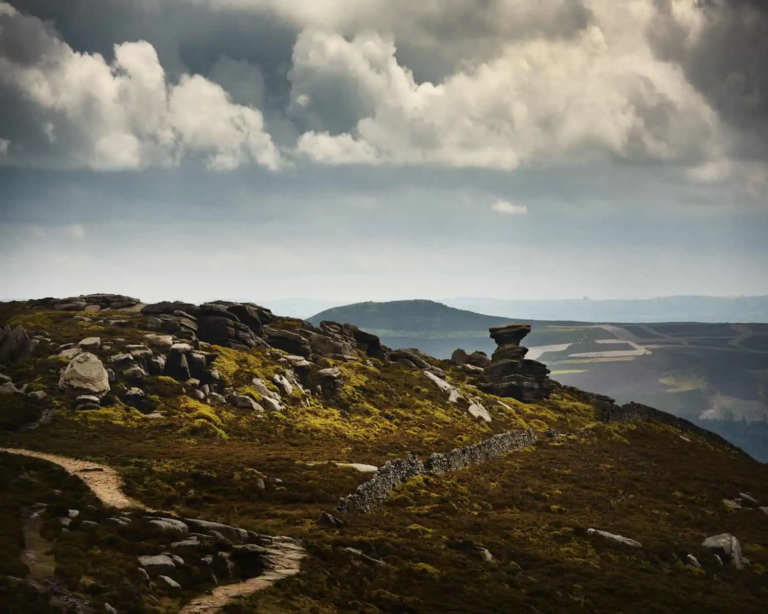
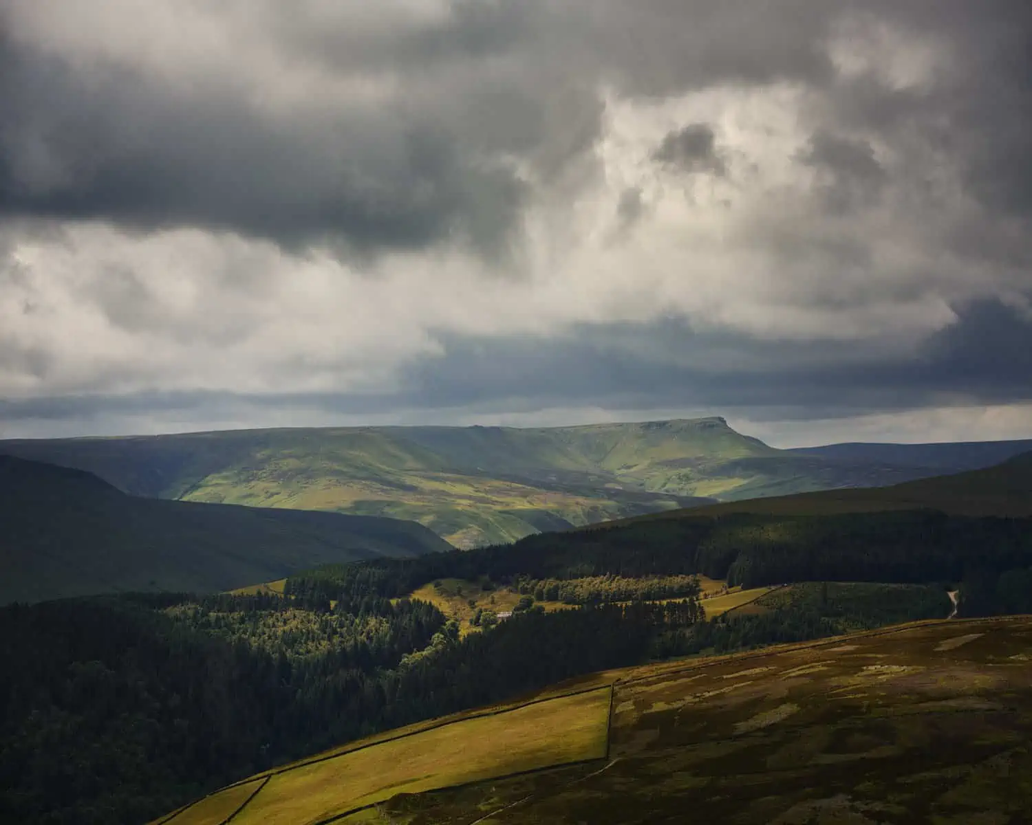
ID: A landscape image. In the foreground, we’re focused in on heather and mossy outcrops. In the background are out of focus hills which are green and brown. It is overcast and the sky is dark.
Getting There and Where to Stay in the Peak District
The Peak District is majorly accessible by car from numerous motorways, with a lot of connectivity due to its close location to several major UK cities and towns. There are also a number of options if you’d prefer to travel by public transport. Generally, the rail network, for example, that connects rural starts of trails, in our opinion isn’t that well connected and could be massively improved to aid accessibility. However, there are some locations that can be reached by train. Generally, look for hikes that start from a town – Castleton is a great example of this. There are a number of towns at which hikes start from that’s main car parks have electric car charging points as well – so it’s a good idea to check what the situation is here if you need to use these.
If you’re looking for locations to stay in the Peak District, there are plentiful options in the cities of Sheffield and Manchester, which are both easy driving distance to the park and offer the best of both worlds. For example, Sheffield gives you great, easy access by car to places like Stanage Edge, Bamford Edge, Curbar Edge. Many of the walks around the Hope Valley and the picturesque village of Castleton are in our opinion, some of the best hikes in the Peak District. If you’d like a much quieter stay, there are a multitude of options for hotels, bed and breakfasts etc in the park itself. We like to use Booking.com which we’ve found is actually really handy for booking lower cost hotels in neighbouring cities such as Sheffield and Manchester. This can actually give you the best of both worlds, so you have access to nature by day and city by night. There are also a number of options for quaint B&B’s in the neighbouring villages. There are also a number of hostels and camp sites available too.
is the Peak District Accessible?
With the walking trails in Peak District and Peak District hikes we’ve outlined below, we’ve tried to be as descriptive as possible to help you make a choice about your accessibility needs – but we don’t believe in rating our hiking routes easy, medium and hard as this is a relative concept. Ultimately, that decision lies with you and what you feel comfortable with – and if a particular hike looks interesting to you, we recommend you call on +44(0)1629 816200 if you have questions about detailed accessibility. We do believe a lot more can be done in terms of accessibility on certain trails and making these become more easily understood as to what is involved. The Peak District National Park authority does have a website with information about accessibility that we recommend you check out. They have a whole section called Miles Without Styles which includes information about a number of Peak District walks which they class as accessible and include routes without steps, styles or steep gradients. Looking at the main page, you might be led into thinking you have to pay for a guide to these easily accessible paths – but look to the left hand navigation bar and they’re available as a drop down list where each link contains a walk and map.
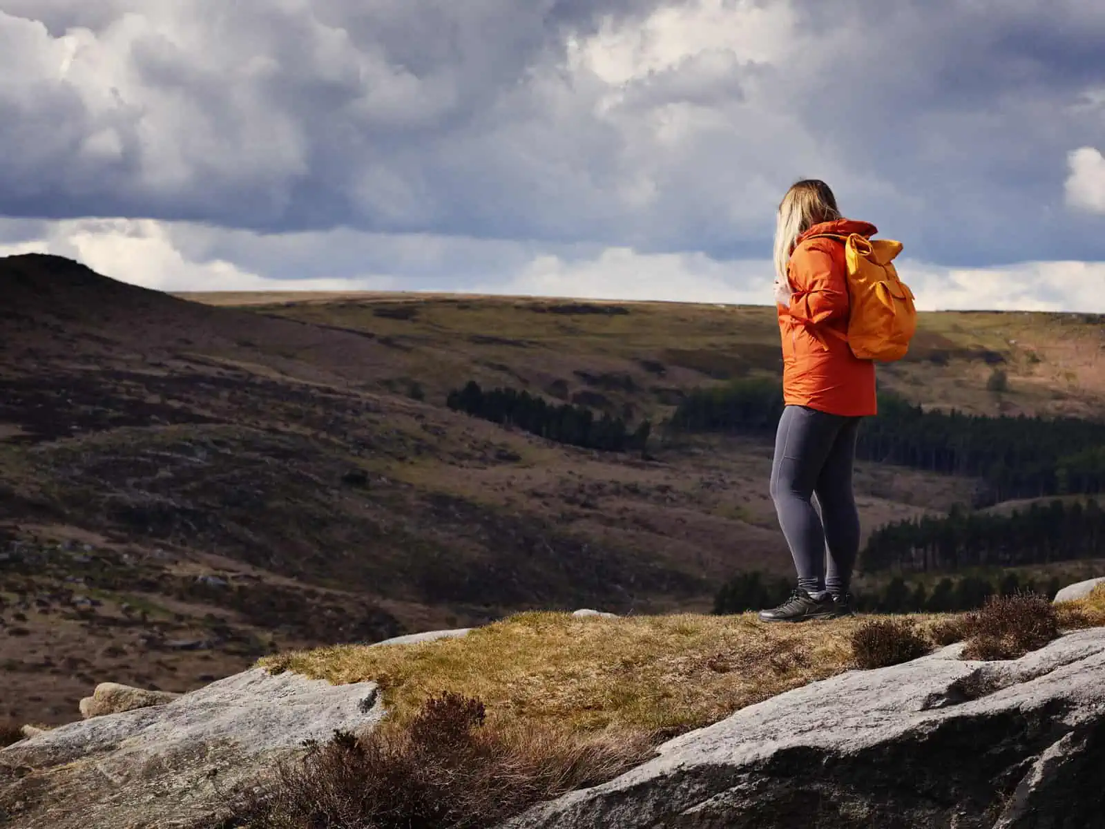
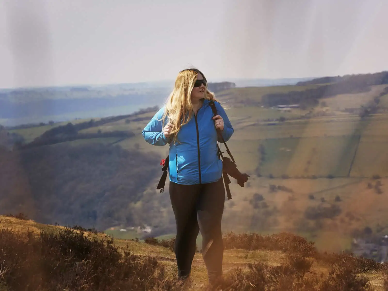
ID: A landscape image. Fay stands to right of the frame and is turned to the side in side profile. Fay wears grey trousers, black shoes, bright red coat and yellow bag. Fay stands on a section of mossy hill with rocks formed in the hills around. In the background are large, undulating hills which are green and brown. The sky is quite dark with sections of open blue sky which are casting a dramatic shadow onto the hills around and casting a spot light on Fay.

Peak District Weather Conditions and the Best Time to Visit
The Peak District is a location that can be visited all year round for hiking, and unless there are adverse weather conditions that impact, there should be relatively no issues for travelling through the park. It is important to note that the park sees a lot of wet weather – so this can make some paths hard going at times of the year. There can also be snow in areas over winter. You often find a lot of very boggy and muddy areas. You can also find that rocky areas can become very slippery in the day. Route finding can also be more challenging on a foggy day – especially on moorlands where there are no distinct features. Aside from this, the Peak District in our opinion looks beautiful all year round. A gorgeous sunny day can have you seeing for miles away from the top of a rocky hill, a winters day can feel so moody like its fresh out of a Renaissance painting. The park is always busier on sunny days, weekends, and public holidays, so do keep that in mind when it comes to planning. We’d always recommend arriving to a car park as early as you can to avoid disappointment – or have an alternate route on mind.
What Gear and Equipment Do You Need For Hiking in the Peak District?
Waterproof Boots of Shoes
Whilst Peak District hiking is amazing all year round, it can get very muddy, not just in the winter. Much of the moorland can be very sludgy, sometimes more than you’d think! So we’d always recommend a good pair of boots or shoes, even in summer. They’ll also keep your ankles more supported. We’d recommend the Columbia Newton Ridge, the Berghaus Hillmaster or the KEEN Targhee Waterproof Boots.
Waterproof Coat and Layers
As with the above, you’ve probably guessed, a waterproof coat and layers is a good idea. You can often get a sudden downpour in the Peak District, so being prepared for that is a good idea and will make the rest of your walk more enjoyable! It can also get quite windy up on the moors, so layers and wind proofing is always going to help you feel more comfortable too. We’d recommend the Columbia Rainscape Jacket, the Mountain Hardwear Arcadia Rain Jacket or the Regatta Birchdale Waterproof Hooded Jacket for a number of options that should suit most budgets.
Looking to update your hiking gear? From the best hiking belts to the best tripods for hiking and travel, we’ve got you covered with our guides by hikers, for hikers. Click on the links below to read:
- 20 Best Waterproof Hiking Shoes in 2023
- 12 Best Trekking Poles of 2023
- 25 Best Small 2 Person Backpacking Tents of 2023
- Essential Gear for Cold Water Swimming: As recommended by a year round wild swimmer
- 12 Best Hiking Belts in 2023
- The Best Backpacking Grills for 2023, Tested and Reviewed
- Our guide to the Best Lightweight Tripods for Travel, Hiking and Backpacking in 2023
- The Best Watches for Hiking, Backpacking and the Outdoors in 2023
- How to Get the Most Out of Your Trip to the Peak District in collaboration with Visit Peak District and Derbyshire
14 Peak District Hiking Routes: Our favourite and best hikes in the Peak District to explore
1. Alport Castles and the Derwent Reservoir
When it comes to Peak District hiking, this is one of our favourites. A great circular route with sweeping views that gets you seeing varied and interesting landscapes with beautiful views of the Dales. You’ll have far reaching hilly views whilst hiking this route and you’ll get to experience the phenomenal Alport Castles. Formed from eroded rock faces and landslips and has been described as ‘castles in the air’. We love the section on this hike along the Derwent Reservoir and Derwent Dam as well for the varying feel this has. In our opinion, this is one of the most fantastic hikes in the National Park. If you’re looking for somewhere to hike with some of the best Peak District views, you might have found it!
Route: Circular
What to expect: Moderately hilly with some steep climbs– with these packed in mostly at a couple of points to make it a moderately challenging hike. Mostly flat path along the Derwent Dam, uneven, rocky and grassy terrain as you head up to the hills. The section after Alport Castles itself can be slippery in wet weather. Exposed and potentially windy sections, uneven drops and precipitous edges at Alport Castles. This is a much less trafficked Peak District walk, and in our opinion, one of our favourites.
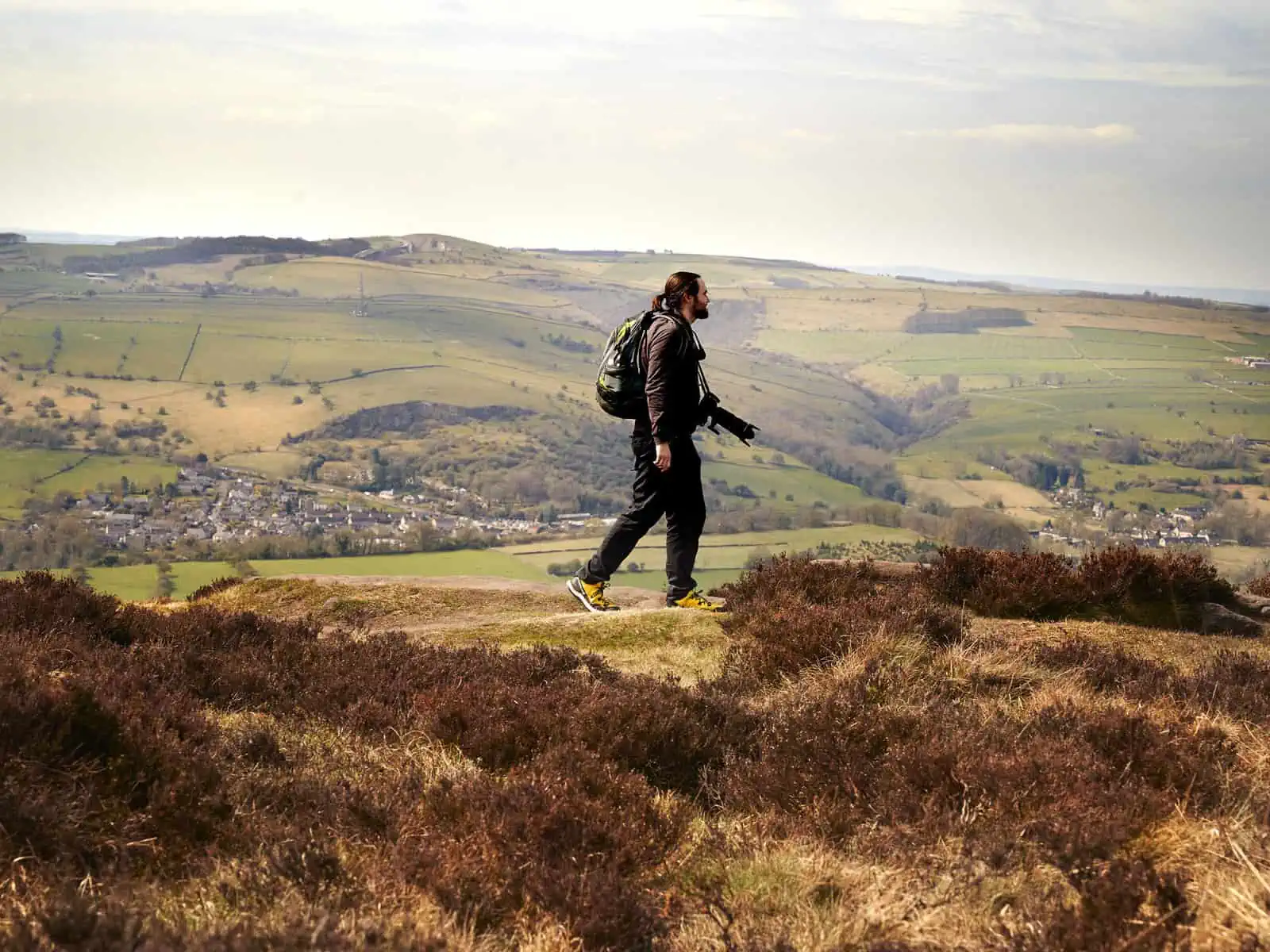
ID: A landscape image. Matt walks from left to right across the top of a hill. In the foreground is mossy grass and rocky crops. Behind him are hills which are greens and browns. The sky is a pale blue. He wears yellow shoes, black trousers and grey hoody. His bag is blue and green and he has a black camera with long lens around his neck. It looks to be a warm sunny day.
2. Kinder Scout and Kinder Downfall
Kinder Scout is the highest hill in the Peak District at 636m so it attracts quite a lot of attention in terms of hiking – the route and the car park to it can get quite busy and is certainly one of the more popular Peak District walks. This Kinder Scout walk is fantastic though – the climb up from the valley is spectacular with stunning views and the sound of the stream as you pass by is so soothing. The thing that makes Kinder Scout interesting as well is that it doesn’t have a particularly well defined summit and when you’re on the top, it is more of a plateau. On a clear day, the views from the top of the Kinder Plateau are utterly spectacular and you will likely see some of the most beautiful peak district waterfalls at places like Kinder Downfall. As an alternate, you can start from the Edale Valley (and this gives access to the train from the charming village of Edale which runs to Manchester and Sheffield) but we just much prefer this particular walking route, it gives you some of the best Peak District Views).
Route: Circular
What to expect: With the combination of elevation gain and distance, we find the walk a challenge. Lots of uneven terrain and plenty of uphill sections. Route navigation can sometimes be tricky from the top due to the indistinctive topology, so a good one to save for daylight hours or clearer days. Some steps near Jacobs Ladder, and also steps cut into hillsides are fairly frequent. Some steps can become slippery in wet weather.
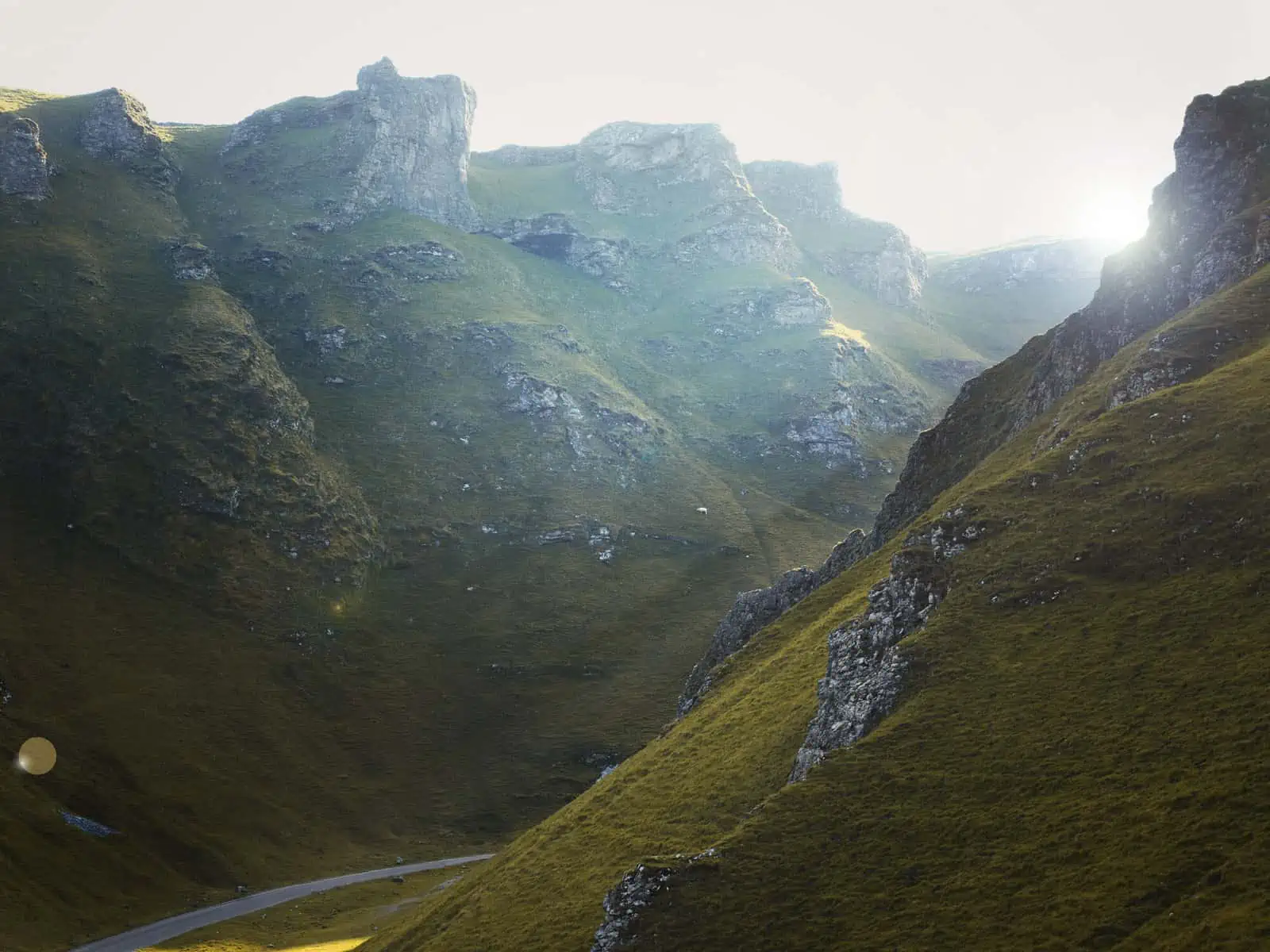
ID: A landscape image. Two sides of a cliff like hill are cut in the middle with a road. The hills are both brown/green with rocks that just out of them and form patterns and shapes. To the top right of the image, light streams through a gap in the steep walls that make up the hills. We see streams of light coming through the image and lens flare off the the left side.
3 & 4. Dovedale and Thorpe Cloud
Dovedale is a one of the more popular Peak District hiking routes on this list due to the Dovedale stepping stones (see next route for something shorter) and is probably one of the best known walking trails in the National Park. What we love about this longer hiking route though, is the detour near the beginning to the top of nearby Thorpe Cloud, with its distinctive ‘cone’ like shape. The views down to the river from here are absolutely beautiful. This walk also contains lots of different views – and because you go from up high, to lower, to higher again there is plenty of variety. There are also caves along the upper sections of the hike after the river itself which are brilliant to take some time to explore. The Dovedale stepping stones over the river get quite the crowd, with people famously jumping over these – lots of fun. The second route we’ve included is a much shorter walk if you just want to take in the steppingstones.
Route: Both routes circular
What to expect: Lots of ups and downs, slippery when wet rocks, especially around the Dovedale stepping stones, rocky terrain, scree and loose slopes in areas. Lots of earthworks and land artifacts on route in the upper moors of the walk. This route can get very busy on weekends.
ID: Landscape image. In the foreground, a hill stands out with a path to the left. There are rocks around the hills and mossy greens and browns surround. In the centre slightly to the right is a rock that stands out and stands tall. In the background are hazy hills and a pale blue and grey sky. It is quite dark and contrasted and looks like a stormy day.
Looking for inspiration on some of the best hiking places in the UK? We’ve got you covered with our travel guides and maps for a variety of difficulties to make planning you trips and adventures easier:
- 22 Best Places for Wild Swimming
- 9 of the Best Circular Walks in Essex (with free downloadable maps)
- Wellbeing, Wandering and Slowing Down: Connecting to nature in the North York Moors National Park
- Accessible Adventures: What to do with a long weekend near Glasgow, Edinburgh & Stirling – four hiking routes to try in the Scottish Highlands
- Snowdonia Routes: Quieter walking routes to see a different side of the National Park
- UK Road Trip: Our ultimate 16 day nature based itinerary
- 14 of the Best Hikes in the Peak District for Varied Abilities + Trail Maps
- Exploring the South Downs National Park: 9 of our favourite hiking routes
- Epping Forest Walks: Seven of the best day hikes near London + trail maps
- Accessible Adventures: What to do with a weekend near London – The Jurassic Coast, UK
- Snowdonia National Park – Our Ultimate Hiking and Travel Guide
5. Curbar Edge, Froggatt Edge and White Edge
Situated in the White Peak (Limestone Dales), this is without a doubt one of our favourite hiking routes in the Peak District and the Hope Valley – so much so that we seem to do it really frequently! It just has everything a great hike should – great views of the Dales, things to explore, hilly sections and quiet. The first section, from Curbar Gap car park is incredibly popular as a day walk due to its accessibility, but this doesn’t stop it being any less fantastic. Once you cross over the road to White Edge, though, you’ll generally be greeted to a lot more solitude as you take in the distant moorland views. Many people choose to do the Curbar Edge hike by walking to the end of Froggatt Edge and turning around, to make it a linear, but we generally feel that White Edge is under appreciated and has some of the most beautiful, far reaching views of the Peak District. You get amazing views and it’s that bit quieter, still with beautiful stones to explore. Curbar Edge is popular with rock climbers and bouldering – so you can expect to spot plenty of this. It’s also a nesting site for many birds, so if this interests you, be sure to bring binoculars.
Route: Circular
What to expect: Busy route to begin but quietens off. A gentle stream crossing which can be avoided when going downhill halfway along the route and taking the road instead. A small amount of walking by the side of the road. Hilly, drop offs on one side at most times (but with a path that is a decent way away from the edge). Can feel quite exposed on a windy day. Uneven dirt paths, and a few steep steps up and down along the way.
ID: A landscape image. Fay is walking centre of the frame up a hillside. In the foreground are out of focus hazy grasses. In the background are steep hills. The ground is green and brown. Fay is wearing black trousers, blue jacket and black sunglasses. A black camera is over Fay’s shoulder.
6. Stanage Edge from Longshaws
Another edge, and something the Peak District does so very well. Expect utterly dramatic views of the Dales on this Stanage Edge walk. There is the option to make this a circular hiking route by taking one of the many trails down the hill – or making it longer by keeping on going on the path. The views on this Stanage Edge walk always have us feeling a bit lovestruck. As another note, if you love you edges, you might want to check out Bamford Edge and Baslow Edge too.
Route: Linear (but can be made circular easily)
What to expect: A classic Peak District hiking route with fantastic views. Some sections of the path are close to the edge. Some sections of crossing rocks and navigating narrow paths. Good visible path but feels exposed on a windy or hot day. Relatively flat with gentle ups and downs throughout.
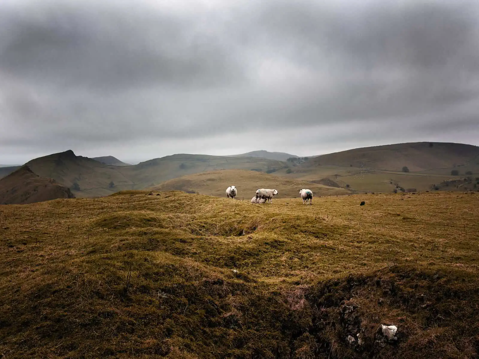
ID: A landscape image. Four sheep stand in a field in the centre of the image – they have white wool. The field they stand in is undulating ground and is a dark green/brown in colour. In the background are hills of all different interesting shapes. The sky is dark and dull – it looks like a stormy day.
ID: A landscape image. Four sheep stand in a field in the centre of the image – they have white wool. The field they stand in is undulating ground and is a dark green/brown in colour. In the background are hills of all different interesting shapes. The sky is dark and dull – it looks like a stormy day.
7. The Roaches and Lud’s Church
If you’re looking for unusual walking trails, this is one to try. The Roaches themselves present a fantastic hiking route – this trail feels really varied. This is another popular one with climbers and you can see why – there is so much to explore on this trail and so many rock formations to weave in and out of. What makes this hike feel really special is the section when you head to Lud’s Church, a deep chasm which penetrates to millstone bedrock created by a landslip in the hillside. What is interesting is it feels like it has its own microclimate – it is mossy, overgrown and slightly slippery at all times, as well as being cool and dark, even on the hottest of days. It feels like something out of a fairytale and it’s great to explore and is unlike anything else you’ll find in the Peak District. Keep in mind that there is no official car parking for this route, and it just has on street, so this can get very busy, and it can be tricky to get parking, especially at weekends.
Route: Circular
What to expect: A lot of undulating hills, steady climbs and rocky trail sections to navigate. Some edges and exposed sections but with secure and easy to find paths. Paths can become slippery when wet. Lud’s Church – some steep and slippery steps down (made worse in wet weather) to this, dark areas and cold – but absolutely wondrous with stunning views.
Want to improve your hiking and enjoy your time outdoors more? Our accessible guides including, hints, tips and techniques to help you become more confident in the outdoors have got you covered:
- Why Walking at Night Can Improve Your Mood + Tips to Enjoy Safely
- Unique Adventures: Making time in nature your own
- How to Live a More Adventurous Life
- How to Become a More Confident Hiker…Away from the Obvious
- How to Get Outside When You’re Feeling the Physical Effects of Anxiety and Depression
8. Lathkill Dale and Monyash
We first discovered this Peak District hiking route when we were looking for quieter walking trails in the area. This circular trail is absolutely incredible and a firm favourite, it also starts from one of the charming village of Moneyash. After a while of crossing beautiful dales, a stone staircase takes you to Lathkill Dale – a limestone cliff that runs along a beautiful flowing stream. On the way back out to the village, the trail heads up a string of stone stairs, taking in this almost fairy tale location. This makes for a great quieter day hike!
Route: Circular
What to expect: Uneven grassy trails for the first section through green rolling hills, which could get boggy in bad weather. Steep, short stone staircase down (or up depending which way you go) and some hopping around rocks along the riverbed. Shaded cliff walks make this walk feel cool (so nice for a summers day) but can feel chilly so bring an extra layer). Some rocks on the stones out of the valley can be wet and slippery so watch your footing. Several styles as you head back to Monyash.
9. Chrome Hill and Parkhouse Hill from Earl Sterndale
This Peak District route to Chrome Hill and Parkhouse Hill has become a popular hiking trail over the last few years due to the unusual shape of the hills – which have been described as the ‘dragons back’ and you’ll see why when you go. You’ll be treated to a thrilling hike which takes in several ups and downs through hills and the beautiful valley surrounding. This is also a great hike with superb views if you’re short on time.
Route: Circular
What to expect: Undulating terrain, good easy to find paths. A few steep ups and downs, and a few rocky sections. Can become boggy when wet. Can feel exposed on a windy or sunny day.
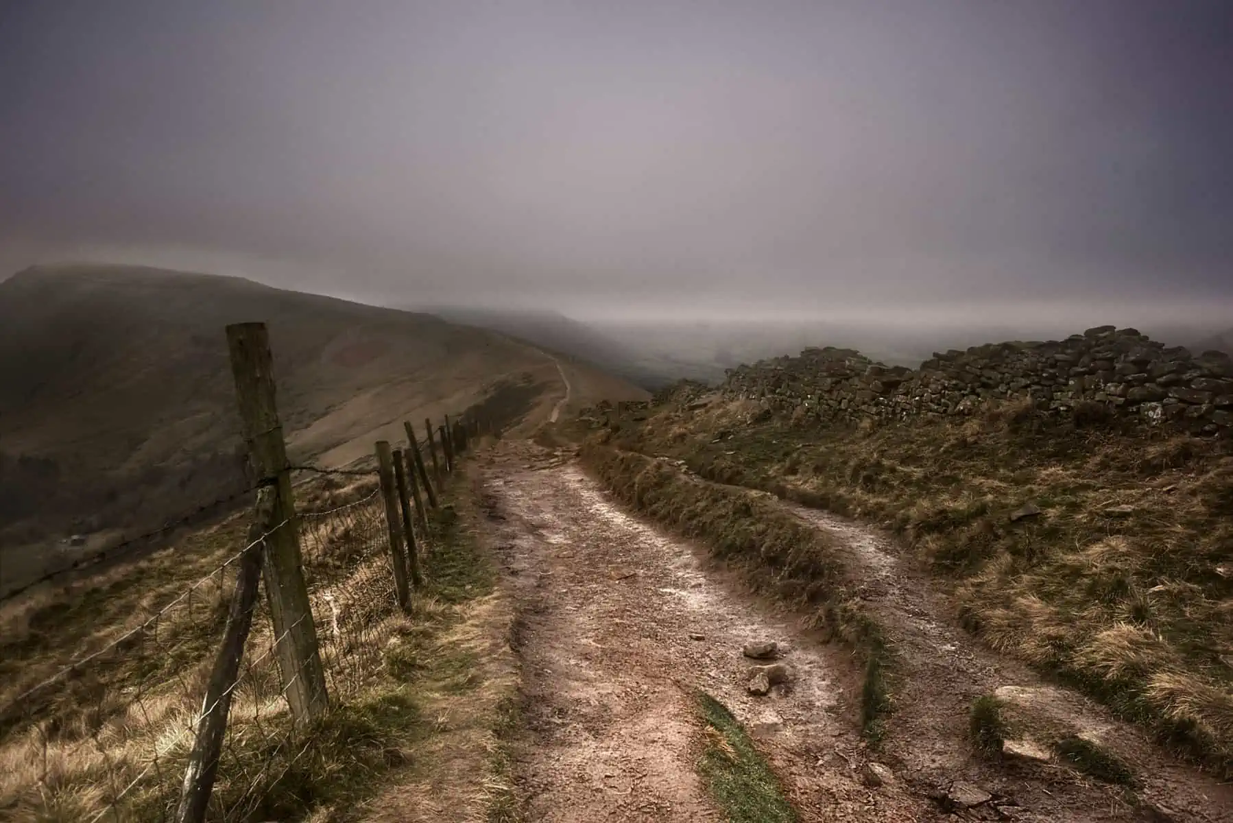
ID: A landscape image. A dark scene shows a dark and stormy day which looks very dramatic. In the foreground is a marked dirt path which leads to a hill in the distance. There are rocks on the right and a fence on the left. We cannot make out the back of the image due to cloud cover which is thick, heavy and grey.
10. Mam Tor and the Great Ridge
This is probably one of the most famous, and popular Peak District hiking routes – partly because of the accessibility by train from the town of Castleton at which this starts. But it is stunning, you just won’t have it to yourself – unless you go for sunrise, and then you probably won’t either! Don’t let this put you off though – because this is a spectacular hike with amazing views and a great sense of satisfaction when you complete it.
Route: Circular
What to expect: A busy but well-marked trail. Some steep up and downs but with a mostly steady climb uphill. Steps cut into grassy hillside on steepest sections. Some areas slippery when muddy. Rocky path on the Great Ridge. Can feel exposed when windy or sunny.
11. Hope to Hollins Cross
An absolutely fantastic route starting at Hope Train Station (where there’s also car parking available) – so it’s very accessible by public transport from nearby Sheffield and by extension, most of the rest of the UK. This circular walk climbs towards the summit of Lose Hill and Back Tor where, on a clear day, you’ll get epic views over the surrounding Dales before sweeping back down into the picturesque village of Castleton for a final stretch through fields following a meandering river. There’s a possibility to extend the walk to take in the summit of Mam Tor if you wish.
Route: Circular
What to expect: This route won’t give you absolute solitude. You pass through a wide variety of terrains including picturesque villages, steep hills, woodland and open farmland. The section of trail that takes in Lose Hill and Back Tor is one of the more popular hikes in the Peak District, but it never feels crowded. There are some steep sections that can get slippery in wet weather and other sections could get quite muddy. Whilst there are paths on the entire route, it isn’t signposted, so we think a map is essential.
ID: A landscape image. A dark, moody scene with dramatic shadows from clouds over the moorlands. The fields and hills almost look like velvet. We see greens, browns and blues in this scene with geometric hill shapes in the background.
12. Kinder Downfall via The High Peak
We think that this is one of the best hikes in the Peak District and again, one of the most well known in the area. There’s parking by the side of the road near the trailhead on the Snake Pass (A57). The well-marked trail weaves through gently undulating terrain that gradually gains height through the route. There are a few steep sections and then you are up on the Kinder Plateau which you can follow to the Kinder Downfall waterfall. On a clear day, there are superb views across the Peaks.
Route: Linear
What To Expect: A well-marked trail – paved with flagstones in part – weaves through open heath land. On a clear day, it’s a pretty easy route to follow, but the High Peak is also in an exposed part of the landscape that gets battered by wind, rain and snow, plus, more than once we’ve experienced the trail completely shrouded in thick, freezing fog. The weather can and does change quickly and dramatically here, so be sure to bring appropriate clothing and a map. On a clear day, or when there’s breaks in the cloud, you’ll be treated to shifting light and shadows and some of the best Peak District views we think there are.
13. Bleaklow Head from Doctors Gate
Starting directly across the road from the Kinder Downfall via The High Peak trail listed above, this walk gives you something quite different from its neighbour: the trail climbs and splits in numerous places and it can be easy to veer off-path, so keep an eye on your map. In 1948, a US Airforce B29 photo recognisance aircraft crashed here in poor weather resulting in the tragic loss of all 13 crew. The wreckage has been preserved as a memorial and it’s possible to take a short detour off this trail to visit this sombre site. The Peak District is home to some of the best hiking places in the UK and we think the High Peak, and this route in particular is right up there amongst the best.
Route: Linear
What to Expect: The trail is mostly well marked as it weaves through boggy moorland, but it splits regularly and it’s easy to drift off-path, so be sure to bring a map. The path is steep in places and can get muddy. The weather in the High Peak can change very quickly and very suddenly: Clear sunny skies can give way to dense freezing fog in a matter of moments, so be sure to bring appropriate clothing and to be confident with your navigation. None the less, this is one of the best hikes the Peak District has to offer and the route has generally good accessibility and trail itself is not technically challenging.
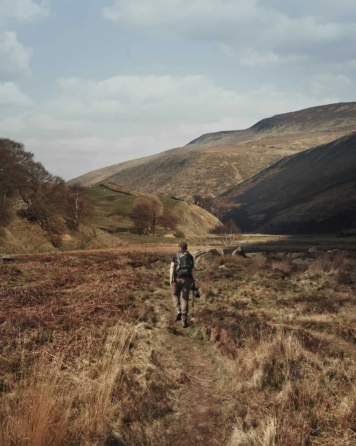
ID: A portrait image. Matt walks away from the camera in grey trousers and a short sleeve black t-shirt. He wears a grey, blue and green bag and holds a black camera in his right hand side. In the foreground of the path he walks down are grasses and fields and in the background are hills. The scene has a golden, summer like feel.
14. Derwent Edge from Ladybower Reservoir
The Peak District is home to some of the best hiking in England, and this route is definitely a favourite of ours. It starts at the Fairholmes Visitor Centre at the Ladybower Reservoir. Much of the land around here is managed by the National Trust. From the visitor centre, you walk past the iconic Derwent Dam, follow the shore of the Derwent Reservoir (where the famous ‘Dam Busters’ raids were rehearsed during WW2), through dense forest before a steep ascent takes you up into open heath. The route finally loops back to the start, but not before rewarding you with incredible elevated views of the complex of reservoirs fed by the River Derwent.
Route: circular
What to Expect: This is a mixed trail through several different types of landscape. There’s a section of steep ascent about a quarter of the way in as you weave your way up above the Derwent Rservoir. A large section is open and exposed and it can be tough going – not just in bad weather, but also on very warm days. The trail is still relatively easy to follow at all points. As always, appropriate clothing, a map and plenty of water are essential to bring along.
FAQ’s:
What is the Hardest Walk in the Peak District?
In our opinion, Kinder Scout is one of the hardest walking trails in Peak District due to the length, height gain and indistinct trail at points. However, it’s rewarding with beautiful views from Kinder Plateau and Kinder Low and worth the effort! You’ll really feel like you’re in the mountains! We also think Alport Castles is up there as one of the harder walks in the Peak District too, again, due to the height gain and length. If heights are something you’re cautious about, Chrome Hill and Parkhouse Hill actually sits up there too.
Is Mam Tor a Difficult Walk?
Of course, the difficulty of any hiking trail has a lot to do with you and how you’re feeling as well as the weather on any given day. Mam Tor is rated as one of the more family friendly Peak District hiking trails by many sources, but we think it really depends where you start the walk from, as this can rapidly increase or decrease the difficulty and effort involved. Our hiking route above starts from Castleton, however there is a much closer car park which cuts off a lot of climbing and distance. The closest car park to the top of Mam Tor is the Mam Tor National Trust Car Park. The postcode to use for this is SS33 8WA. From the back of the carpark, you’ll find a well marked trail that leads up to the summit.
Where is the Most Beautiful Place to Hike?
In our opinion, Alport Castles (see our route suggestion above) is one of the most beautiful Peak District Walks. The hiking trail gives something absolutely stunning in terms of scenery with beautiful views all round. You’ve got far reaching views of the High Peak and Dark Peak with dramatic cliff drops into the valleys. The moorland views are breathtaking. On a good day, you’ll also have great views over onto Derwent Edge as well. The route has a wide variety of things to keep you interested across moorland, water and woodlands – everything a great walk includes in our opinion. If you try the Kinder Scout walk, you’ll also experience Kinder Downfall, which is an incredibly stunning area too. All the edges too – such as Curbar Edge, Bamford Edge, Stanage Edge etc are absolutely iconic for hiking and for good reason! In our opinion, these routes will give you some of the best Peak District views.
Disclaimer: This article contains Affiliate Links. You won’t pay any more for buying through these links, but we may receive a commission from any purchases made through them. As an Amazon Associate, I earn from qualifying purchases. If you choose to support us by buying through our links, we thank you as it helps us to continue providing the resources we do to help you enjoy the outdoors more!