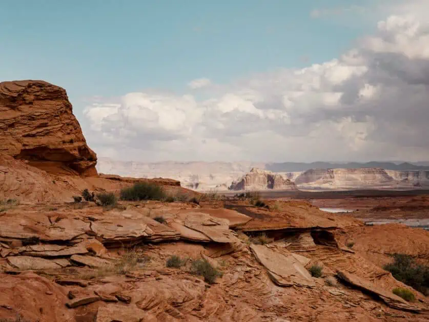
The American West has a lot to offer – it seems that multi-colored rocks just spread into the distance for hundreds of miles with endless canyons, mesas and interesting formations. At the heart of this iconic, round the world recognisable landscape is Page, Arizona, one of the best places for adventure lovers to explore what the wild west really means. Read on for our guide for things to do in Page, Arizona, including hiking, best spots for exploring, accommodation and restaurants.
Editor’s Note: This article is in partnership with Visit Arizona all opinions are our own. Be sure to read our other article in this series: Things to do in Sedona, Arizona.
Table of Contents
Why Should You Visit Page, AZ?
The city of Page is situated in the far north of the State of Arizona – just below the State Line with Utah. Page is surrounded by some of the most uniquely beautiful landscapes in North America – arguably even the world – and many of the sites around Page have become internationally renowned. Many visitors to this part of the world will make Page a stop on their journey – perhaps to visit Lake Powell or to see Horseshoe Bend – before heading on to the iconic Zion and Bryce National Parks in Southern Utah, but Page is worth far more than a fleeting stop as there’s plenty to see and experience in the desert around the city.
Page itself is a well-sized city with plenty of amenities including restaurants, cafes, bars, hotels and motels, supermarkets and outdoors stores plus equipment and vehicle rental companies (including specialist 4×4 rentals) – essentially it has everything you’re likely to need to support your outdoor adventures. Look around Page on a map and you’ll see Lake Powell dominates the area.
This is a truly vast reservoir on the Colorado River, held in place by the Glen Canyon Dam. Lake Powell and its surrounding area are certainly one of the key attractions in the area, but there’s so much more besides, including the Vermillion Cliffs National Monument and, further afield, the Grand Canyon too!
The Best Time to Visit
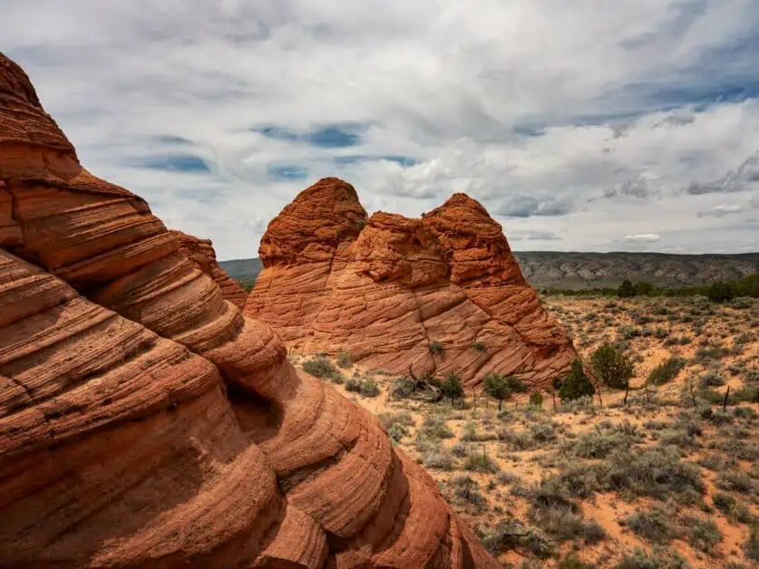
Page and Northern Arizona may be visited year-round, however, peak season is considered to be May to October. Be aware that the area can get exceptionally busy during peak season – though some trails and locations off the beaten track will remain quiet year-round. The Summer months – June to August – are, as you’d expect, the warmest and, being open desert, it can get very warm indeed, with temperatures exceeding 35C/95F during the day – though remember that the temperature in the desert can drop quite abruptly as night sets in.
Whilst the area is most definitely a desert, rainfall is not uncommon and short, but very intense downpours are a common occurrence. In the vast, open landscape you can often see columns of highly localised rain approaching from some distance off, and indeed, these weather events form an integral part of the area’s iconic environment. Generally, rain is brief, but monsoons do occur and with them comes a risk of flash flooding. You need to be especially aware of this if you are travelling on undeveloped roads or hiking in the backcountry.
In Winter – particularly December and January – the temperature drops considerably and can even drop below freezing. Snowfall is not uncommon and is an incredible sight in the desert. Generally, snowfall around Page is light, but if you plan to travel further south in the State – towards the Grand Canyon or Flagstaff, for instance – it can become much heavier, and it’s recommended to have winter tyres fitted and chains available if needed. The major seasonal closure to be aware of is the North Rim of the Grand Canyon, which starts to gradually wind down from mid/late October (depending on the weather), shifting to day use only and eventually, access is closed to all vehicles between 01 December and 15 May each year (specific details are available on the NPS website).
Ethical and Sustainable Exploring
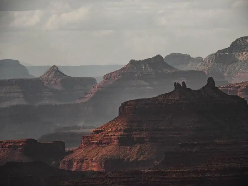
It’s vitally important to plan your travels in an ethical, responsible, and sustainable way. This is because tourists have an impact on the places they visit, and this can lead to precious, fragile ecosystems and landscapes being damaged and polluted – something that we all want to avoid! The landscape around Page is stunning and it begs to be explored, but stepping off the marked trail, for instance, can have real and lasting consequences, causing irreversible erosion and damage to fragile surfaces like Cryptobiotic Soil Crusts that can take decades to reverse. It’s also important to be culturally sensitive too: much of the land around Page has deep cultural significance for native American Tribes.
Leave No Trace
The desert can seem like a hard and unforgiving environment, but in reality, it is a delicate and exceptionally fragile ecosystem. As such, we have a responsibility to have as little impact on the environment as we possibly can. Leave No Trace is a set of principles everyone enjoying the outdoors can follow to help achieve just this. The key concepts are to Plan head and Prepare; Travel and Camp on Durable Surfaces; Dispose of Waste Properly; Leave What you Find; Minimize Campfire Impacts; Respect Wildlife and Be Considerate of Others. It’s vitally important to adhere to these principles – not just in the desert around Page, but whenever we venture outdoors as, by practicing Leave No Trace, we can help preserve natural environments – which is not just good for the flora and fauna that call those environments home, but also for future generations of visitors too.
How to be a Sustainable Visitor
As responsible hikers, many of us already practice Leave No Trace and would not dream of, say, knowingly leaving litter behind or graffitiing a rock formation. However, there’s more to sustainable travel than the way we behave on the trail, and we can all do our part to ensure that the benefits we receive from exploring a new place also help that place out. We can choose to spend our money at locally owned businesses for instance and also take the time to research when places we’d like to visit are busy or quiet and plan our time there to minimise stress on the environment, infrastructure and other visitors too! Sustainable Travel does not have to be a chore, it’s a great way to get to know a place – and the people who live in that place – even better.
Learn About Native Culture
Northern Arizona has been home to various Native American tribes for far, far longer than the United States of America has existed. Today, the Navajo Nation calls the land to the east of Page home and this Tribal Area is larger than many American States. There is also a substantial Hopi Reservation – fully enclosed by the Navajo Nation – Southeast of Page. Historically, the area was inhabited by Ancestral Puebloan tribes – also referred to as the Anasazi (though this term is increasingly seen as problematic as it derives from a derogatory Navajo term relating to historic rivalry between the groups) who left behind many enigmatic ruins.
Many of the most scenic sites around Page either sit on land that belongs to the Navajo Nation or has cultural significance to the Tribe. Many Navajo-owned guiding companies exist and the insights they can give into the deep history and spiritual importance of the various sites in the area is truly fascinating.
Things to do in Page, Arizona
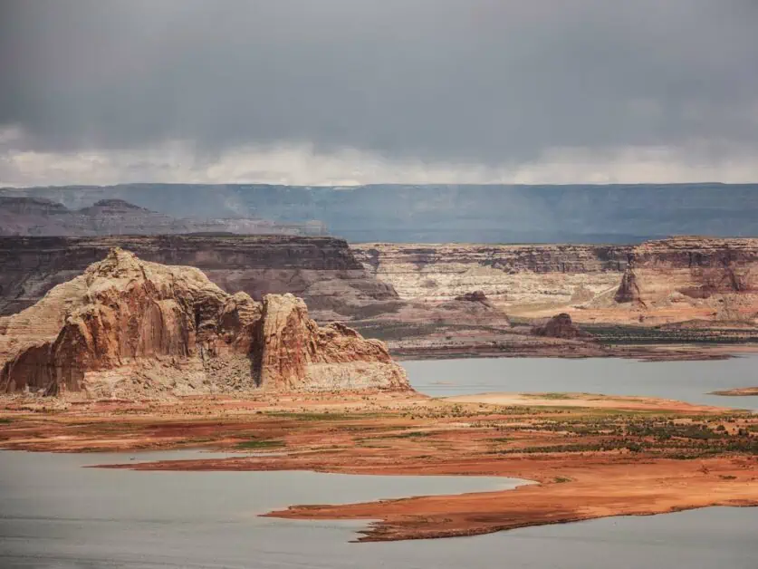
Page is right in the heart of an incredible desert landscape, and there is plenty to see and do within a few minutes’ drive of downtown. Glen Canyon and Lake Powell dominate the area and it’s no surprise that these top the list of things to do in Page, but they are far from the only options and Horseshoe Bend and Antelope Canyon – perhaps two of the most iconic and heavily photographed places in the world and both right outside Page too. You certainly won’t be short of things to see, and the great thing is that many of these sites are very easily accessible too, with just short walks required to see some truly wonderous sights.
Glen Canyon
Glen Canyon is a vast valley around the Colorado River that reaches the northern edge of Page. A relatively small section of Glen Canyon is in Arizona – most of the canyon extends north into Utah. Strictly speaking, most of Glen Canyon itself is now underwater beneath Lake Powell – a reservoir formed by the construction of the Glen Canyon Dam – but the Glen Canyon National Recreation Area (GCNRA) includes huge amounts of land around the Canyon itself. Without a doubt, the GCNRA is one of the key attractions in this part of America. It encompasses some truly spectacular landscapes and there’s plenty of scope for hiking, off-road driving and water sports in the area. It would absolutely be possible to base an entire visit to Arizona around the GCNRA and, if that’s your intention – or you intention for a portion of your visit – then Page is a great choice for a base.
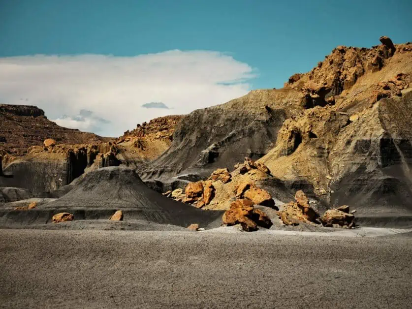
Most people probably don’t get very excited by geology, but Glen Canyon is one place where geological processes take central stage: The otherworldly rock formations and layers and swirls of contrasting colors you’ll encounter in the desert here are spectacular and walking or driving through the area is a great way to soak it all in. The landscape here is vast and expansive and it’s easy to see why this area was a popular filming location for western movies. Glen Canyon is also a very important area for Native American tribes and sadly many important archaeological and sacred sites were lost beneath lake Powell when the Dam was constructed.
Glen Canyon Dam Visitor Center
Construction of the Glen Canyon Dam finished in 1966 and Lake Powell reached full capacity in 1980. In conjunction with Lake Mead, formed by the Hoover Dam, further South on the Colorado river near Las Vegas, Nevada, Lake Powell and the Glen Canyon Dam are vital to ensuring a consistent water supply to the American West. The Carl Hayden Visitor Centre at the Glen Canyon Dam is one of the key attractions in the area. It’s open year-round, seven days a week from 9am to 5pm, only closing on Thanksgiving, Christmas and New Years Day. This Visitor centre – named after a former Arizona State Senator who, amongst other things, held a record for the longest-serving member of Congress – is perched right on the edge of the Glen Canyon Dam. From the visitor centre, you’ll get amazing views of the dam and can also explore a number of exhibits documenting its construction and the subsequent formation of Lake Powell.
Horseshoe Bend
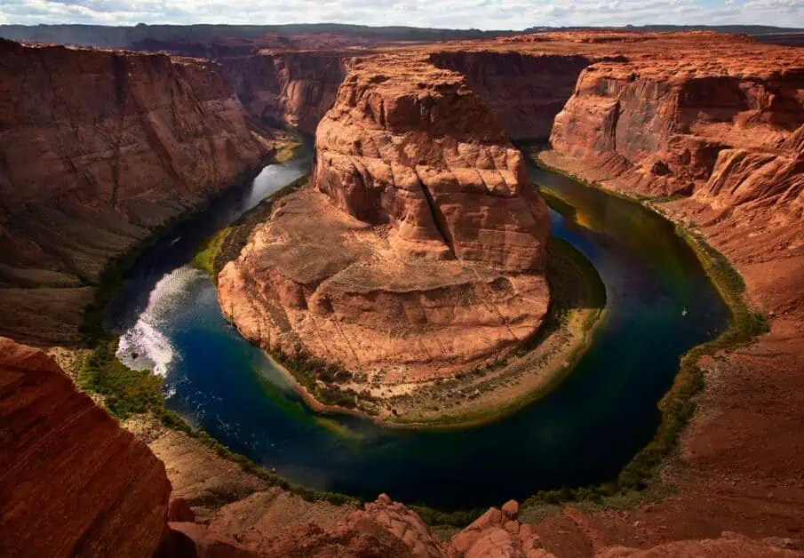
Horseshoe Bend is probably the most iconic location in the area around Page. Even if you don’t recognise the name, you’ll almost certainly have seen photos of this iconic location before. Basically, this is a short hike (2.4km/1.5mi there and back) on a well-marked and maintained trail to a scenic overlook of a sharp bend in the Colorado River. The trail starts in a substantial car park – open from sunrise to sunset every day of the year – on Highway 89 roughly 7km/4.5mi from Downtown Page. There’s currently a $10 fee for cars and RVs to park, and this car park really is the only option! The 89 is a high-speed limit road and any cars parked along it are liable to be towed and ticketed. The first thing to be aware of with Horseshoe Bend is that it will almost certainly be very busy – you may well find yourself in a slow-moving line to reach the viewpoint.
Whilst the trial is relatively short – and classed as wheelchair accessible – it is also very exposed (there are two small sun shelters along it), so make sure you wear sun block! The viewpoint itself is utterly spectacular but be prepared for it to be very busy. The viewpoint is on a cliff edge and there is a very sheer drop off from it – so be sure to exercise caution here – and keep a close eye on any children in your group. In many ways, Horseshoe Bend is a victim of its own natural beauty and is often ram-packed with visitors. It’s well worth considering how you can help to dissipate tourism at this site by planning your visit early or late in the day – away from peak visitor numbers.
Lake Powell
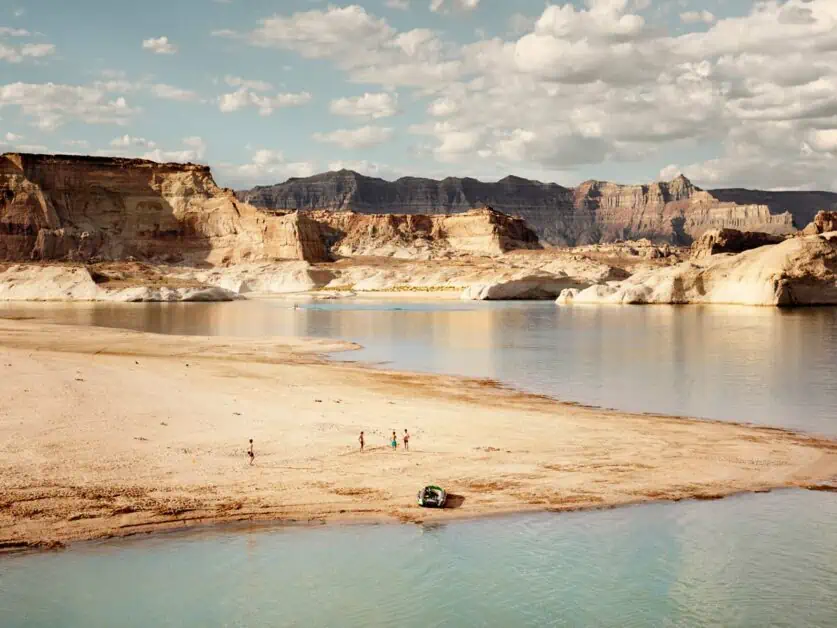
Lake Powell is a vast reservoir filling Glen Canyon. It sits partially in Arizona and partially in neighbouring Utah. The reservoir formed following the completion of the Glen Canyon Dam on the Colorado River in the mid 1960s, but even after this, it took a staggering sixteen years for the reservoir to fill to capacity – that gives some idea of its sheer scale! Today, following consistent years of drought, the reservoir’s water levels are much lower than at their peak. It’s worth comparing arial or satellite photos of the lake with maps when considering a visit as many maps depict a much higher water level than is currently present.
None the less, the sheer size of the reservoir is still mind-boggling. The reservoir fills an important practical purpose – not only ensuring consistent water supply to the American West, but also generating huge amounts of hydro-electric power. But beyond this, it’s also a hugely popular recreation area. The Glen Canyon National Recreation Area (GCNRA) surrounds the lake and is a popular destination for those who enjoy water sports including boating, jet-skiing, canoeing and paddle boarding. It’s possible to rent boats and kayaks on the lake too. The lake is also popular with anglers. On the shore, there are also numerous trails and hiking opportunities. There are also designated off road vehicle trails around the lake available for those with suitable 4×4 vehicles or ATVs/OHVs.
There are many different accommodation options around lake Powell ranging from camping, to the Lake Powell Resort at Wahweap Marina, and, of course, Page is very close by too. Lake Powell is a spectacular location, with the water framed by a vast and almost surreal desert landscape. As the sun sets, you are often treated to dramatic colors as the landscape shifts in hue from red to purple to blue. Afterwards, it’s often possible to experience truly dark skies, and the area around the lake is understandably popular with stargazers.
Antelope Canyon
Antelope Canyon is a famous slot canyon located just outside Page. As with Horseshoe Bend, even if the name isn’t familiar to you, you’d probably recognise photos of Antelope Canyon if you saw them! Slot Canyons are deep, narrow-walled canyons – often narrow enough that can reach your arms out and touch both sides. The sandstone walls in Antelope Canyon have been weathered over millions of years to form twisting, undulating forms that almost appear like a frozen liquid. The walls wrap overhead, in places completely blocking the sky and occasionally allowing shafts of light to stream through.
This is a visually spectacular and other-worldly place! It is also a very popular tourist destination and the only way to visit the canyon is as part of a guided tour group. There are two parts to the canyon – Upper and Lower – and both are visually spectacular. Antelope Canyon is situated on Navajo land, and the canyon has deep spiritual significance for the Navajo people. If you choose to visit, please remember that you are entering a spiritual site and be respectful of your surroundings.
Best Things to do Near Page, AZ
Page is a fantastic place to base yourself if you wish to explore around the area and a little further afield too, to experience more of Northern Arizona’s captivating and varied landscape. The range of activities on offer in the area is truly staggering and there’s something suitable for all levels of experience and all amounts of time – ranging from short, accessible hikes to day-long excursions. Arizona is the Grand Canyon State and Page is a great base from which to take a day trip to explore either the North or South Rim of the Canyon. Finally, Page is also a great base for exploring the south of Utah and Grand Staircase Escalante National Monument and the iconic Zion National parks are both easily reached in under two hours’ drive. Below, we’ve outlined some of the best areas to explore near Page, Arizona.
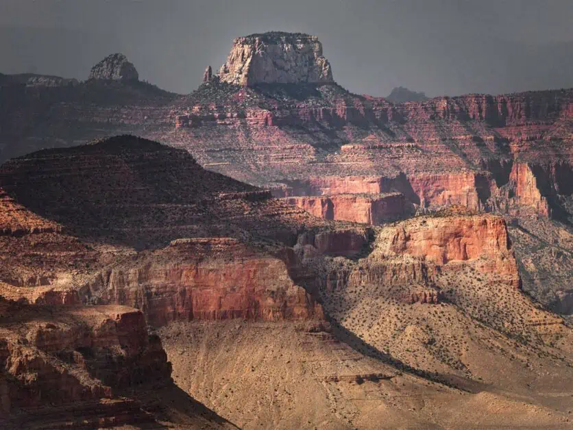
The Grand Canyon
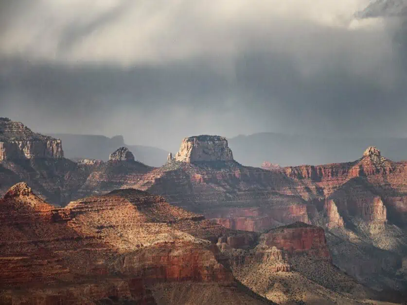
As you cross the State Line into Arizona, the welcome sign proudly proclaims that you are entering the Grand Canyon State. This spectacular geological feature hardly needs an introduction and at 446km/277miles long, up to 29km/18miles wide and up to 1857m/6093ft deep its scale is truly staggering! We’ve likely all seen the Grand Canyon before in films, on TV and in pictures, but this does not prepare you for the experience of seeing it in real life! To see the vastness of the Grand Canyon spread out before you is a profound and emotional experience – in fact, it’s not exaggerating to say it could well be life-changing!
The canyon sits in Northern Arizona and Page is a fantastic base from which to explore it. There are two main places to visit the Grand Canyon: The South Rim and the less-frequently visited North Rim. Each rim gives a substantially different experience of the Grand Canyon and both are well worth visiting. The Grand Canyon is a National park and there is an entry fee payable to access either Rim.
Grand Canyon North Rim
The North Rim of the Grand Canyon is much less developed than the South Rim and receives far fewer visitors. That said, it can still get very busy, though if you hike any of the trails you can quickly get away from the crowds. The North Rim is heavily-forested, and its alpine feel is quite a different experience to the South Rim – and for this reason, we’d say it’s well worth visiting both. The North Rim is just over 2:15hrs drive (197km/123mi) form Downtown Page. The North Rim is subject to seasonal closures and the main access road is completely closed to all vehicles (including snowmobiles) each year from 01 December to around mid-May. Once the road is closed, the North Rim becomes an extremely isolated place. It’s still possible to hike to the North Rim from the South Rim in Winter and this multi-day expedition is considered one of the most isolated and demanding hikes possible in North America.
Grand Canyon South Rim
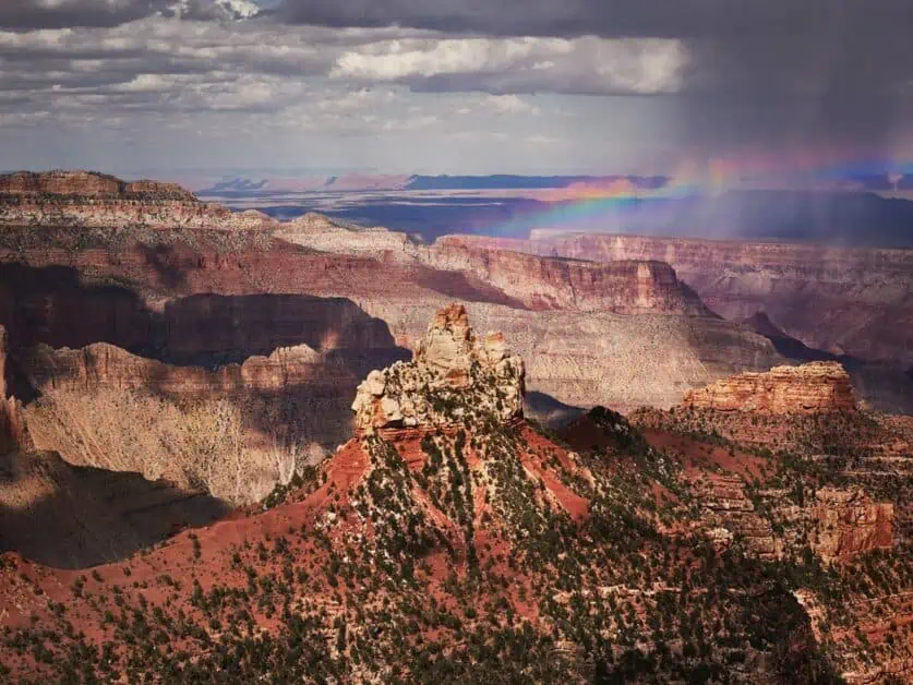
It takes Just under 2:30hrs to drive the 217km/135miles from Downtown Page to Grand Canyon Village on the South Rim. Grand Canyon Village is already well into the National Park and you’ll pass some spectacular canyon overlooks on your journey there, so the journey technically does take less time to reach. The Grand Canyon South Rim is much more frequently visited than the North Rim and its more desert landscape is probably what most people imagine when they think of the Grand Canyon. This side of the canyon is open year-round and whilst it can and does get very busy, the sheer scale of the place means that you can quickly leave the crowds behind on the numerous trails that start here. You could easily spend weeks exploring the trails around the South Rim, but even if you are just passing through, you can see some incredible things in just a few hours. The South Rim is very heavily developed relative to the North Rim and Grand Canyon Village feels like a large town.
Vermilion Cliffs National Monument
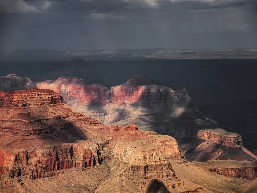
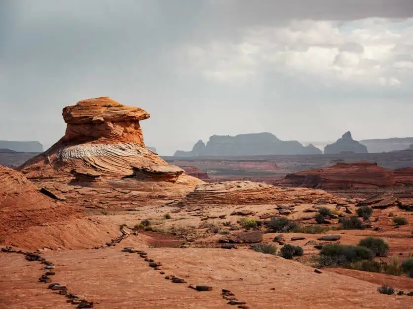
The Vermillion Cliffs National Monument is a vast and beautiful area of geological importance situated in Northern Arizona, right on the state line with Utah. The area is characterised by colorful and other-worldly rock formations. The Vermillion Cliffs National Monument is managed by the Bureau of Land Management (BLM) and is far less developed relative to National and State Parks. House Rock Valley Road (BLM 1065) is the main road through the National Monument and meets Highway 89 in Utah roughly 57km/35.5miles West from Downtown Page.
After turning onto this road, you cross back into Arizona and shortly after entering the Vermillion Cliffs. This is a maintained dirt road and, whilst we’d recommend a 4×4 for any driving in the Vermillion Cliffs National Monument, it is (just about!) suitable for regular road cars when dry. However, the rest of the roads which criss-cross the National Monument (many of which follow the routes of Native American trails and the routes taken by pioneer wagon trains) are certainly not suitable for regular cars and a high clearance 4×4 vehicle or an ATV is essential to drive on these. These specialised vehicles can be rented in Page from the likes of Lake Powell Jeep Rentals or Jeep BnB). When it rains, the roads first become slick and slippery like ice and in very heavy rain can turn into deep mud.
Even with an appropriate vehicle, some of the roads in the National Monument are difficult to drive on and navigation can be tricky on the twisting, interconnecting roads – be sure that you are confident with your driving, navigation, and vehicle recovery skills if you plan to dive in the Vermillion Cliffs as the area is very remote and cell phone reception is non-existent. Guided tours of the key attractions in the park are also available and these are a great option if you are not confident with off-road driving and navigation.
Paw Hole
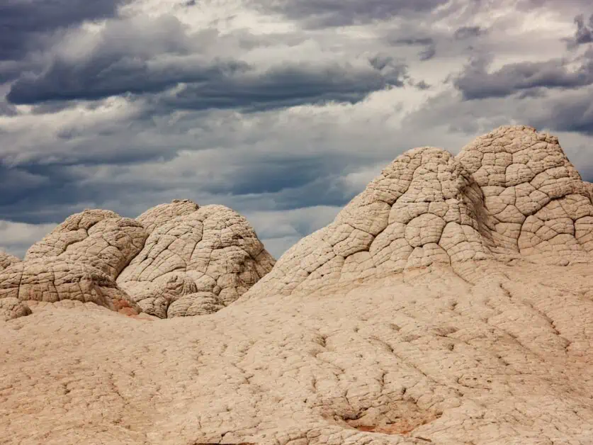
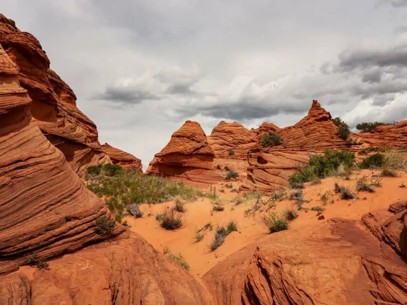
Paw Hole is one of the Vermillion Cliffs National Monument’s most spectacular attractions. There are no formal trails through this cluster of giant red rock ‘beehives’ and hikers can explore the formations as they wish (whilst obviously being respectful of the fragile nature of the environment). To reach Paw Hole:
- From Highway 89, Drive 16.4 miles south on House Rock Valley RD (BLM 1065) to reach the Lone Tree Trailhead.
- Turn right onto Paw Hole RD (BLM 1079) and drive a further 4km/2.5mi to reach the Paw Hole Trailhead.
The Paw Hole Trailhead is only accessible with a high clearance 4×4 vehicle; however, the Lone Tree Trailhead is (just about!) reachable in a regular car – provided the road conditions are dry, however it adds a 4km/2.5mi each way hike to reach the Paw Hole Trailhead.
A permit for Coyotte Buttes South is required for Paw Hole. Permits for twenty people are issued each day. Ten places are available in advance and ten places are issued via a lottery. The process to get this permit is quite complex and has various fees and deadlines associated with it (including a non-refundable application fee for the lottery), so be sure to read and fully understand these before applying for the permit.
White Pocket
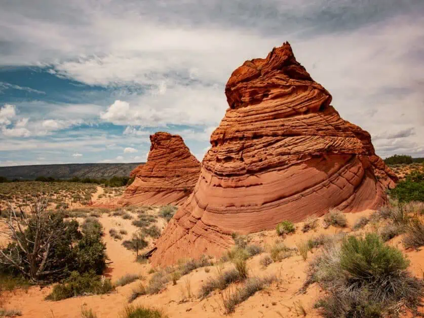
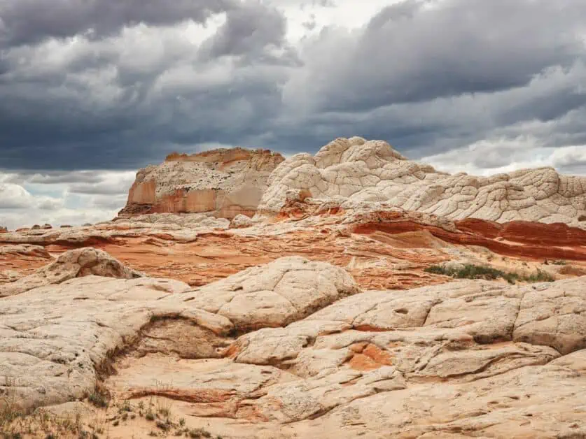
In our opinion, White Pocket is even more spectacular than Paw Hole, and the two can also be combined into a single day of exploring. White Pocket is a fantastic landscape where red and white rocks swirl together – it almost looks like flowing mud has frozen solid. What’s more, a permit is not required to reach White Pocket. As with Paw Hole, there are no formal trails here, and visitors are free to explore the rock formations as they wish. However, the landscape at White Pocket is very fragile, so if you visit, be sure to treat the rock formations with the respect they deserve. White Pocket is a spectacular place to photograph and visiting it is truly a remarkable experience that you won’t quickly forget!
If you are visiting both Paw Hole and White Pocket in one day, you’ll likely notice that they are relatively close on the map and that there’s a short connecting road between the two. However, this route is not recommended – even if you have a high clearance 4×4 – as there is deep sand on the road. The recommended route (which may be found in this BLM pamphlet), is as follows:
- Follow House Rock Valley RD (BLM 1065) 32.3km/20.1mi south from Highway 89 until you see a corral on the right.
- Turn left here onto Pine Tree RD (BLM 1017) and continue East for 9.9km/6.2mi until you reach the old Pine Tree Pocket Ranch where several roads meet.
- From here, take Big Sink RD (BLM 1087) Northeast for 6.5km/4mi until you reach the junction with White Pocket RD (BLM 1086).
- Follow White Pocket RD (BLM 1086) Northeast for 8.6km/5.4mi to reach the White Pocket Trailhead.
Hiking the Page, Arizona Trails: Tips for Beginners and Pros
- Have a map of your route – either an offline digital or paper one – and know how to read it.
- Check the weather forecast and bring suitable clothing – layers are key – and be prepared for rain downpours.
- Bring plenty of water and sunblock.
- Always let someone know where eyou are going and when you anticipate being back – they can raise the alarm if you don’t return.
- Check if a permit is required on your route.
- Be sure to practice Leave No Trace.
Hiking essentials: gear recommendations, maps, and safety precautions
The desert around Page can be a harsh and unforgiving environment – especially if you are not used to hiking in these conditions. However, it’s also a magical place to explore and having the right equipment can make a real difference to your enjoyment:
- Wear suitable clothing made from tech fabric rather than cotton. Prioritise layers and bring along something warm – especially if you will be hiking into the evening when temperatures can drop.
- Be aware of the sun. Bring sunblock and reapply it regularly. Also be sure to bring a hat to help prevent (painful!) sunburn on your scalp.
- Choose footwear with grippy soles and that provides adequate ankle support – low boots may be a better option than shoes. Be aware that heavily ventilated shoes can fill with sand, potentially ruining them.
- Some trails involve crossing uneven terrain. Consider a set of hiking poles to provide extra support and balance.
- Make sure you have a map for your route and that you know how to read it. If using an electronic map, be sure this works offline – as there is often no cell coverage in the desert – or, bring a traditional paper map and compass.
Spotlight on popular trails: difficulty, distance, and distinct attractions
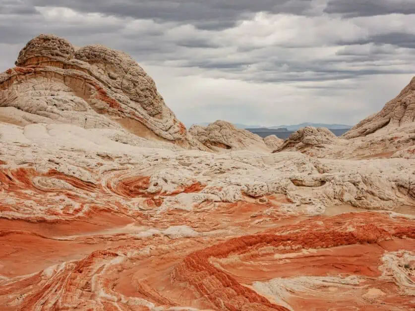
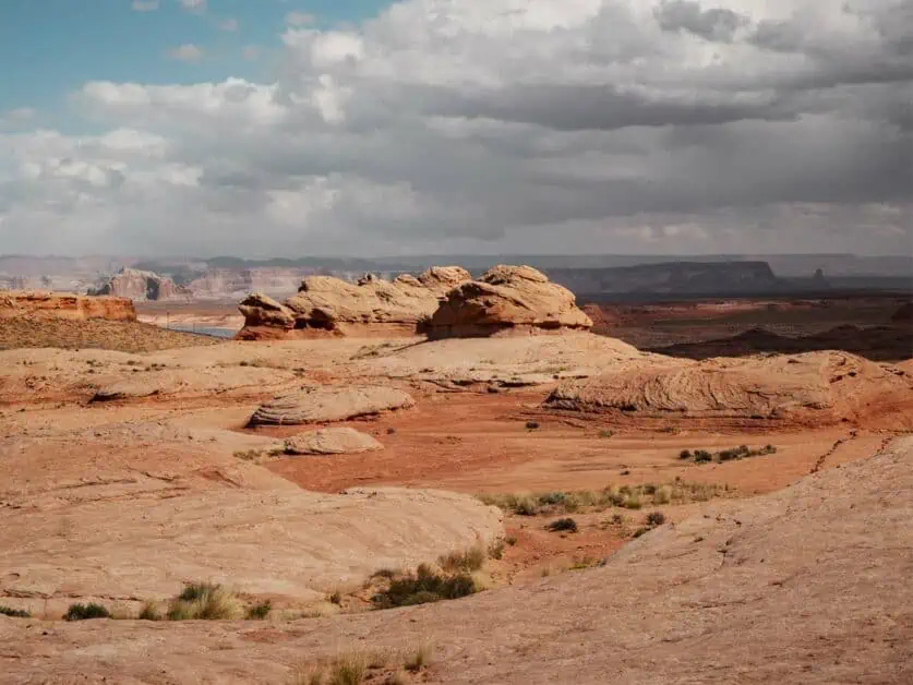
There’s a wide range of hiking options around Page and the desert here offers some beautiful and varied landscapes. Hikers will find a variety of almost alien rock formations as they explore, from sandstone that’s been carved into abstract swirling patterns over countless years to the surreal stone mushrooms known as hoodoos. The desert around Page and Northern Arizona is a captivating, wild and sometimes inhospitable place, but exploring it is greatly rewarding. The trails in the area vary from short accessible hikes that can be completed relatively quickly, if desired, right the way through to much more demanding routes in true wilderness.
Wildlife watching and photography tips
The desert may seem an inhospitable place but look a little closer and you’ll see it’s an ecosystem teaming with life – it just isn’t always immediately obvious! The area supports varied bird life, amphibians, and reptiles plus a range of mammals including Jack Rabbits and Bighorn Sheep and even larger predators such as Coyotes and Mountain Lions. However, most people hiking during the day are unlikely to encounter these, and any glimpses are likely to be fleeting. Binoculars can certainly be useful, but if you are intent on photographing wildlife in the area, then engaging a local guide is a smart move.
The area is a paradise for landscape photographers and the big, sweeping vistas and ever-changing lights just cries out to be captured! Many landscape photographers work with wide angle lenses (and an extreme wide angle is a must at Horseshoe Bend or if you visit Antelope Canyon), but we also prefer longer lenses – and even super telephotos – which are all very useful when working in the desert.
Best Hikes Near Page, AZ
Use the map below for approximate starting locations of the best hikes near Page, Arizona:
There are some fantastic hiking routes very close to Page, ranging from shorter, accessible hikes, to much more involved and demanding trails. Below, we’ve listed some of our favourites:
1. The New Wave/Beehive Trail
Difficulty: Easy to Moderate
Distance: 2.1km circular
Elevation: 51m ascent and descent
When to do it: Year-round
The Wave – a spectacular rock formation in the Vermillion Cliffs National Monument – was long one of the most popular destinations in Northern Arizona. However, it has suffered from over-tourism and access to it is now very strictly limited by a permit lottery system. This hike – previously the Beehive Trail but now also called ‘The New Wave’ – takes you through a series of rock formations very similar to The Wave. However, it’s not fair just to view this as a runners-up prize for the main Wave. This hike is fantastic! It is relatively short but crosses uneven terrain in places. The rock formations you’ll see and views out over lake Powell and distant desert are truly remarkable. That it’s easily accessible from highway 89 is a definite bonus too. We would thoroughly recommend this hike to anyone in the area.
2. Paw Hole
Difficulty: Moderate to hard – Depending on weather and starting point
Distance: 8.3km/5.1mi – but see description for more information
Elevation: 140m/459ft ascent – but see description for more information
When to do it: Year-round – but best to avoid very warm days in Summer
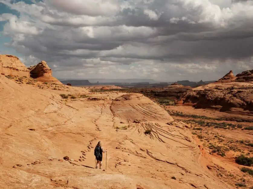
Paw Hole is an incredible collection of rock formations in the Vermillion Cliffs National Monument. There are no formal trails at Paw Hole and visitors are encouraged to explore freely, treating the landscape and delicate rock formations with due care and respect. A high clearance 4×4 vehicle is required to reach the Paw Hole trailhead, but it is possible to get to within 4km/2.5mi of the trailhead in a regular road car provided the weather conditions are good and then hike in the rest of the way. The route detailed above is this hiking route assuming you do not have a 4×4 vehicle and you’ll need to factor in extra time to explore Paw Hole on top of this.
This hike is relatively flat, but it is also very exposed and during the summer it will get exceptionally hot. The hike is possible year-round, but it is not advised to attempt this during the warmest summer months. A permit for Coyotte Buttes South is required for Paw Hole and twenty are issued each day with ten available in advance and ten issued via a lottery. Paw Hole is a very remote location, and you may not encounter anyone else whilst there. Be sure to bring adequate food, water and sun protection and notify someone of your plans and when you anticipate being back.
3. Horseshoe Bend
Difficulty: Easy
Distance: 2.6km/1.6mi there and back
Elevation: 77m/252ft ascent
When to do it: Year-round
Horseshoe Bend is one of the most iconic viewpoints in North America – maybe even the world – and this straightforward trail takes you from the designated car park (it costs $10 to park a car there and it really is the only option for this trail) to the scenic overlook. The trail is well marked and easy to follow – it’s even classified as wheelchair accessible. However, one thing it’s unlikely to be is quiet! Expect to meet big crowds on this route unless you arrive very early in the morning. The trail is also completely exposed with zero shade – though there are two sun shelters along its route – so be sure to bring plenty of sunblock and water. The view over Horseshoe Bend is admittedly spectacular and well worth braving the crowds to see.
4. Hanging Garden
Difficulty: Easy to moderate
Distance: 2.5km/1.5mi there and back
Elevation: 29m/95ft elevation gain
When to do it: Year-round
The desert can seem like a harsh environment that’s hostile to life, but the canyons around Page conceal a secret oasis known as hanging gardens where plant life thrives on rock walls fed by water seeping through the rock itself (the National Park Service offers a more in-depth explanation of how these gardens thrive in the desert). This relatively short and flat route along a well-marked trail involves a little bit of scrambling in places but is otherwise fairly easy-going. The end point is a spectacular hanging garden which is quite an unexpected sight in the desert.
5. Rim Trail
Difficulty: Moderate
Distance: 16km/10mi circular route
Elevation: 218m/715ft Ascent
When to do it: Year Round
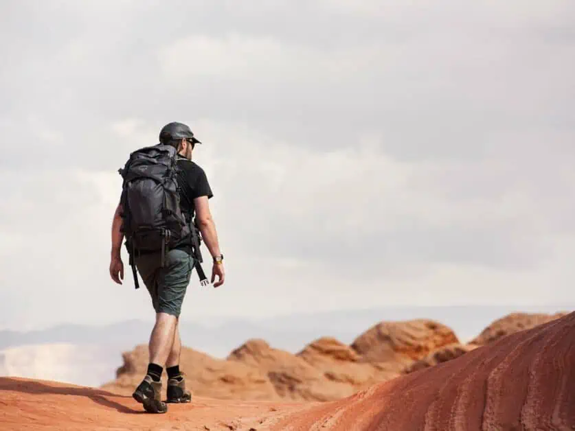
The Rim Trail is essentially a circuit of the city of Page. It follows a well-marked trail and offers fantastic views out over Lake Powell and the surrounding desert. The full circular route is relatively long at 16km/10mi, and, with ample photo stops (and you will want to take a lot of photo stops!), you could expect to take close to half a day on this, but the beauty of this hike is that you can easily cut the route short to fit the time you have. The northern section, taking in views of Lake Powell for instance, can be completed and you can then cut back through Page to your starting point. You can also start the trail from numerous points in Page – adding to its flexibility. This is a great route for anyone based in Page as it offers a trail that does not require a vehicle to reach the trailhead.
Places to Stay in Page, AZ
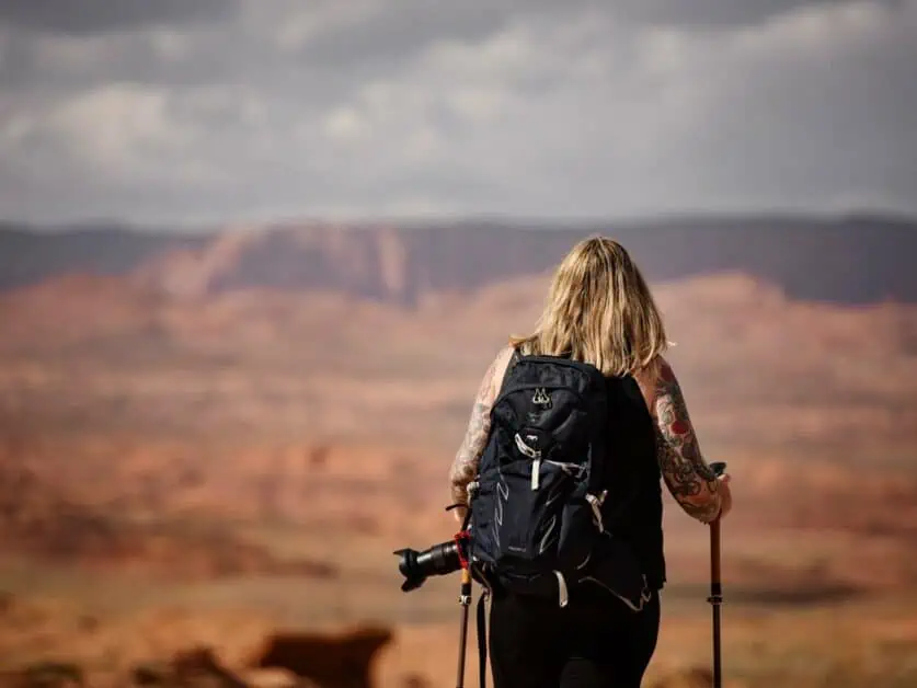
There are numerous places to stay in and around Page, with options ranging from luxury hotels through self-catering apartments and campsites. These options can cater to just about any taste and budget. There are several accommodation options available on the shores of Lake Powell itself – and these are a great option if you want a place to stay that puts you right in the heart of the landscape. Bear in mind that if you wish to stay within the Glen Canyon National Recreation Area or on Navajo Nation land – for example, at Wahweap or antelope Point Marinas – you will also have to pay park entry fees and potentially also a resort fee on top of the cost of your accommodation. The entry fees are payable regardless of whether you are staying in the in National Recreation Area or not. The fees are well worth it to experience this fantastic natural location.
Wahweap RV & Campground
Wahweap RV & Campground is large campsite situated next to Wahweap Marina. This site is very large, with pitches suitable for both RVs or mobile homes and tents. The site is very well developed, with paved roads, picnic areas, fire rings and grills and good communal facilities including a laundry room and showers. There’s even Wi-Fi on the site. The campsite is part of the larger Lake Powell Resort (see below) and those staying at the campsite get access to resort’s facilities including pools, hot tubs and even the business centre (a small, mandatory resort fee is charged for this). For those looking for a more basic and rustic camping experience, this probably is not the best choice, but the site’s excellent facilities and proximity to the Marina and Resort make it a great choice for those who don’t want to sacrifice their conveniences whilst camping.
Lake Powell Resort and Wahweap Marina
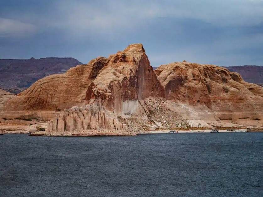
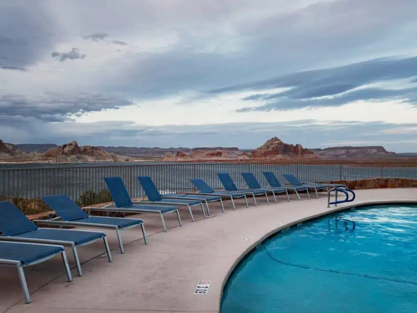
Wahweap Marina, just a 15 minute (13km/8mi) drive from Downtown Page, is arguably the most developed part of Lake Powell and the Lake Powell Resort sits right at its centre. The resort itself offers motel-style rooms and family friendly suites. The resort is elevated above Lake Powell and many of the rooms come with expansive panoramic views out over the lake and surrounding landscape. The resort is a great place to base yourself if you want to make use of Lake Powell and explore the Glen Canyon National Recreation Area. Boat rental is available at Wahweap Marina and the resort also has two swimming pools, a hot tub and a number of bars and restaurants.
Antelope Point Marina
Antelope Point Marina is the second major developed marina in Lake Powell in Arizona. It’s equally close to Page – again, roughly a 15-minute drive (14.5km/9mi). This marina is much smaller than Wahweap and situated at a point where the lake forms a narrow, but very deep channel – it looks more like a wide river than a lake. The only onshore accommodation the marina offers is an RV park. It is possible to rent large house boats at the marina, but the relatively high cost of these may limit their appeal to larger groups or those who want a very specific experience. It’s also possible to rent a range of small boats and watercraft including canoes and SUP boards at the Marina. Antelope Point Marina lies on Navajo Nation land within Glen Canyon National Recreation Area and a fee is payable access the marina. The current fee for a single private vehicle is $30 for up to seven days.
Hotels in Page, AZ
Page itself offers several different accommodation options ranging from basic to luxurious. As well as larger chain hotels, there’s also a number of locally owned and Navajo-owned options:
- Shash Diné Eco Retreat and Glamping B&B – Hwy 89 Navajo Route 6211, Page, AZ 86040 – This Navajo-run site is situated 19km/12mi south of Page and offers guests a chance to experience staying in the open desert in a range of well-fitted out tents and huts. This is a contemporary take on traditional Navajo lodging.
- Hyatt Place Page – 126 N Navajo Dr, Page, AZ 86040 – A modern hotel in Page, the Hyatt Place offers amenities such as a pool, fitness centre and EV charging points.
- Rose Walk Inn B&B – 1001 Gunsight St. 3398, Page, AZ, 86040-3398 – A traditional B&B right in the centre of Page, offering a range of different rooms and a great, central location.
Where to Eat in Page, AZ
There’s plenty of food options available in Page, including many of the usual big chains you’d expect in an American city. There’s also plenty of smaller chains and independent cafés and restaurants too:
- Canyon Crepes Cafe – Open during the day (8am to 4pm every day except Tuesday), this café serves a wide range of sweet and savoury crepes (along with coffee). There are gluten free and vegan options on their menu too.
- Dara Thai Express – This unassuming restaurant in the parking lot of a retail park may not look fancy form the outside, but it serves delicious Thai and Korean food from a varied menu with plenty of plant-based options. It has a buzzing atmosphere in the evening and the staff were knowledgeable and friendly too.
- Hot N Sweet Coffee and Donut Shop – Coffee and Donuts are about as American as you can get! This little store offers a wide range of brightly color sweet treats plus savoury American diner classics too. They are open 7am to 1pm Monday to Saturday.
- El Tapatio – A traditional Mexican restaurant offering authentic cuisine. They have a huge menu with plenty of options (including plant-based) and are also fully licensed.
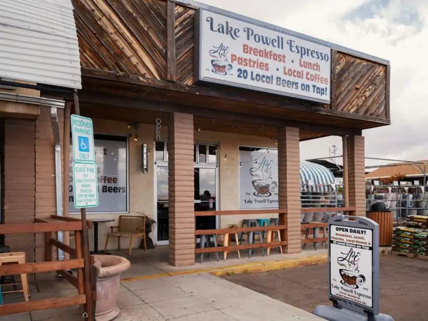
- Lake Powell Espresso – A top notch coffee shop – in fact, the best coffee we had in Page – that also serves breakfast, lunch and cakes. They are open during the day from 6:30am to 2pm.

How to get to Page, Arizona
Most visitors to Page will include it as a stop in a longer road trip. In this sense, Page is perfectly located on Highway 89: If you have been visiting the National Parks in Utah, Page is a relatively short drive from Zion – the most southerly National Park in the State. From Page, the 89 continues south through Arizona to Flagstaff where you can then join the 17 to Phoenix (with its international Airport) and then the 10 to Tucson. Page Municipal Airport (PGA) is situated right in the centre of Page and you fly here from numerous cities in the United States – though many routes require a change at Phoenix.
How to get to The Grand Canyon from Page, Arizona
There’s accommodation available at both the North and South Rim of the canyon, but it’s often booked up well in advance. With this in mind, Page is a great location from which to explore both rims of The Grand Canyon. Each rim of the Canyon is substantially different, and it is well worth taking the time to see both. The Grand Canyon is a National Park and an entry fee is required to reach either rim.
The Alpine North Rim is less developed than the South Rim and closes seasonally. It is roughly 2:20hrs drive (198km/123mi) from downtown Page. The North Rim is subject to seasonal closure:
- From Page, head south on the 89 until you reach Bitter Springs (41km/25.6mi).
- Turn right onto the 89A and head North – the route doubles back on itself for a while – and then West to Jacob Lake (90km/55.8mi).
- Turn left onto route 67 and drive South (68km/42.4mi) until you reach the North Rim.
The South Rim of the Grand Canyon is much more developed and has more of a desert feel than the North. The South Rim is what most people probably picture when they think of the Grand Canyon. It is just under 2:30hrs (217km/135mi) form Downtown Page:
- From Page, head south on the 89 until you reach Cameron (123km/76.6mi).
- Turn right on the 64 and drive West (91km/57. mi) to reach Grand Canyon village.
How to get to Las Vegas from Page, Arizona
Las Vegas, Nevada is roughly a half day drive from Page through some spectacular desert landscapes. For those on road trips around the American West, Las Vegas will be a popular stop and Page could make logical next step in your itinerary.
- From Las Vegas, head East on Highway 15, passing into Utah and through St. George to the junction with the 9 (204km/127mi)
- Continue on the 9 to Hurricane (15.6km/9.7mi)
- From Hurricane, take the 59, which becomes the 389 when it crosses from Utah to Arizona, to Fredonia (88km/54.8mi)
- At Fredonia, head north on the 89A to Kanab, crossing into Utah again (11km/6.8mi)
- Finally, take the 89 east from Kanab to Page (118.6km/73.7mi).
It is also possible to modify the route above to incorporate the scenic drive through Zion National Park. At Hurricane, head north meet the 9, then head East to drive through Zion before rejoining the 89 north of Kanab at Mt. Carmel Junction. If you want to detour through Zion, it’s worth giving a full day to this drive as you’ll certainly want to take many stops!
How to get to Vermilion Cliffs National Monument from Page, Arizona
Vermillion Cliffs is a stunning and relatively undeveloped area close to Page. Whilst it’s criss-crossed with roads, none of these are paved and only the main access road, House Rock Valley Road (BLM 1065) is suitable for regular road cars – and even then, only in good weather. High-clearance 4×4 vehicles more suited to these roads may be rented in Page from the likes of Lake Powell Jeep Rentals or Jeep BnB. Cellular reception is very poor to non-existent in Vermillion Cliffs, so be sure to have your route planned out in advance.
- Head West from Downtown Page on the 89 for roughly 57km/35.5mi, crossing into Utah.
- House Rock Valley junction (BLM 1065) will be on your left. It’s easy to miss!
- Follow House Rock Valley RD, first back over the State Line into Arizona and then into Vermillion cliffs National Monument.
How to Get to from Page, Arizona to Bryce Canyon
The iconic Bryce Canyon National Park is just over 2:30hrs drive (243km/151mi) from downtown Page. The nearby Dixi National Forest and Kodachrome Basin State Park are also well worth visiting if you are heading to Bryce Canyon.
- Take the 89 West and then North from Page and keep driving for 215km/134mi, into Utah, through Kanab, Glendale and Hatch until you meet the junction with the 12.
- Turn right and drive East for 21.5km/13.4 miles to Bryce Canyon Resort.
- Take a right and drive South 4.5km/2.8mi on the 63 to reach the National Park.
FAQs
Can you visit Page and Northern Arizona year-round?
Yes, you can! In winter the temperature drops, and the area can and does receive snow fall (snow in the desert is an incredible sight!). However, the snow is generally not heavy and does not cause major closures as it does in other parts of America. The only major seasonal closure to be aware of is the North Rim of the Grand Canyon.
How hot does it get in summer in Page?
Summer in the desert can get very hot indeed and daytime temperatures can reach around 35C/95F in June, July and August. It is also worth bearing in mind that there is very little natural shade in the desert. Carrying sunblock, a hat and plenty of water is vital.
What’s the nearest Major Airport to Page?
Page has its own small airport, but this is more for regional flights. In terms of international airports, Phoenix Sky Harbour Airport is roughly 4:30hrs drive south of Page in Arizona. Las Vegas Harry Reid International Airport is also roughly 4:30hrs drive away to the West of Page in the state of Nevada.
The water levels in lake Powell are dropping. Is it still worth visiting and can you still make use of the lake?
Over the last twenty years, there have bene numerous years of drought that have led to the water level in Lake Powell dropping. However, whilst the lake is much smaller today than it was in, say, 1999, it is still a vast area of water that’s still perfectly suited for boating and water sports. Lake Powell and the surrounding Glen Canyon are both spectacular landscapes and well worth visiting.
Is Page a good base from which to explore the Grand Canyon?
Absolutely! Both the North and South Rim of the Grand Canyon are accessible in under 2:30hrs drive from Page. Whilst there is accommodation available at the Grand Canyon, it often gets booked up well in advance and either rim can easily be visited in a day trip from Page.
Conclusion
Northern Arizona is a uniquely beautiful place and Page is a fantastically positioned city from which to experience it. The landscape here is the quintessential American West – the kind of panoramic red rock vistas and distant mesas many of us will surely recognise from countless western movies. Even if these movies weren’t filmed around Page, they sure could have been! This is truly a wonderous landscape, with monumental canyons and gorges, towering, twisting rocks and colors you can barely believe can exist in nature. This is also a land with deep history and the native Navajo people have a deep and spiritual connection to this land. For many visitors, this landscape is at once strange and alien but also familiar.
The desert can seem harsh and inhospitable, but it is also, at times, welcoming and invites you to discover more. Around page, you’ll find some of the most widely recognisable and probably most heavily photographed landscapes in the world. You can’t talk about Page without mentioning Horseshoe Bend or Antelope Canyon. But whilst these places are well worth visiting – they are famous for good reason – they are far from the only things to see here. Many people will visit Page on the way to somewhere else, but we think it’s a destination in its own right well worth taking some time to explore.
