
This article was created in collaboration with Outdooractive UK.
What does an adventure mean to you? We’re pretty sure that if you told us your answer, it’d be completely different from our answer, as much as it would be different for anyone you ask. That’s the thing – everything we enjoy is as completely unique and individual as we are, so why shouldn’t the adventures we go on and the time we spend in nature doing the things we love be the same?
An adventure can be a completely individual experience. However, for a whole range of reasons, the time we spend outdoors can actually feel quite prescribed. We are absolutely not saying there is anything wrong with following already set out routes – far from it. There are many reasons why this is a good idea – access being a big one; the understanding of the work and research that has already been put into trail conditions has a massive impact on accessibility. There is also the fact that some of the best loved routes in the world are best loved for a reason – they are simply fantastic and make for an unforgettable experience.
WATCH THE SHORT FILM:
However, one of the most potent things we see about this is around mindset and a feeling that doing something individual isn’t possible, or it’s too hard. We see people going on these amazing adventures and experiences around the world where they’ve carefully plotted unheard of or never done before routes – and we seem to take that to mean that the idea of making your own adventure can feel really daunting and so that comparison creeps in. There seems to be a fear about how planning your own adventures might be unsafe – perhaps a lack of knowledge can have an impact or a sense that you don’t know what to expect. But we truly believe that with a little bit of knowledge, combined with an understanding of your unique needs and wants from time out in nature, the opportunities are endless to plan your own adventures, tell your own story and create memories that are truly mindful, connected and allow you to have a deeper connection with the environment around you.
For quite a while now, we’ve been planning pretty much all our own routes on Outdooractive– this means that we’ve been plotting all our adventures, trails and itineraries from scratch. It has been a big eye opener for us as to just how much more tailored our experiences can be to our needs and the things we love. We’d always made the occasional route ourselves when needed, but it was only in 2020 that we really started to plot things ourselves. It started because we couldn’t head off on big adventures as much as we were used to, due to the pandemic, and we wanted a little bit more excitement and variety in what we were doing. Plotting our own routes in places that were relatively close to where we live was a great way for us to get back some of that sense of the unknown. The idea that we could turn up to a trail and not know what we were going to see for the next few hours, even though we might already know the area, felt thrilling and something we’d long missed. This developed more and more, to the point that now, we pretty much plan every hike we make from scratch. What we found when we did this was that we were starting to understand better how the landscape fitted together and what different things meant on a map. Even more importantly, we were able to plan things to the length we wanted, focus on what we wanted to see and on areas of interest. The benefits of this when we were on the trail were profound. Because we were creating routes that really appealed to us, from the moment we set off, we felt more switched on and excited. Because we were identifying the things that we really enjoyed whilst out in nature and planning routes around them, we found we were connecting in a much more impactful way mentally and physically with the landscape. When we finished our adventures, we felt a sense of satisfaction and ongoing connection that we hadn’t felt in quite the same way before. It felt like, and still does feel like, we’re truly making our experiences in nature feel tailored to our own needs, and that feels quite special.
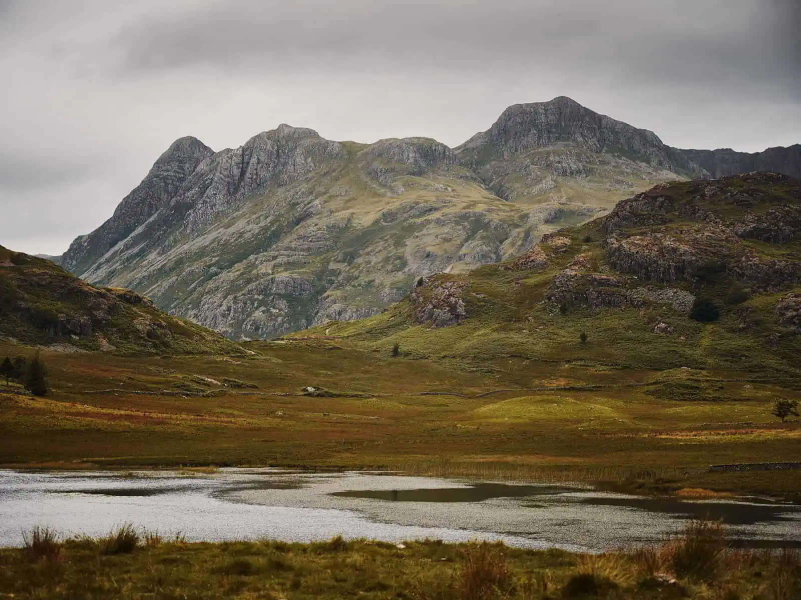
ID: A landscape image. In the foreground is the start of a tarn in the hills – the ground around this is brown and green. As the image progresses, in the background are mountains – rocky and steep. It is overcast.
The benefits of planning your own adventures
There are so many benefits to planning your own routes and creating your own adventures. However, some of the main benefits we’ve found to exploring in this way are:
It lets you choose distance and height gain relative to where you’re at and your skill level
It is easy to get put off by prescribed routes that seem very long and with a lot of height gain. With a route you’ve planned yourself, you can plot something that is based on where you’re at or allows you to push yourself gradually in steps – setting yourself up for success. Plotting your own routes can really allow you to dip your toe in the water and try new things in a way that feels achievable all the way through to planning something big and ambitious to push yourself out of your comfort zone.
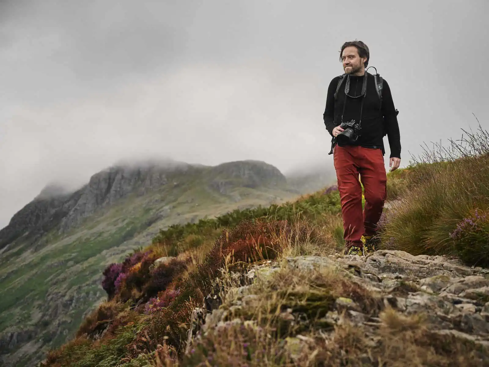
ID: A landscape image. Matt stands to the right of the frame on a rocky high up path. He is wearing a black top and red trousers and has a camera around his neck. There are purple wild flowers around him. In the background are mountains that are being hidden by cloud.
Allows us to connect to nature in a way that is restorative
Because you’re tailoring your time outdoors and the route to your own needs, it means you can factor in things you really enjoy; helping you connect a lot more mindfully and have a better experience. We have learned to identify the things we really love when we are in the outdoors. Now, when we plan our routes, based on the places we go, we try to factor this in. There is usually something that involves a little bit of scrambling and a rocky path, with lots of high up mountain views, forested sections as well as somewhere to take a wild swim. When we have better memories and a better sense of connection to our time outdoors, it monumentally shifts our perspective and emotive reaction to wanting to be an active steward toward being more environmentally friendly – we protect what we love.
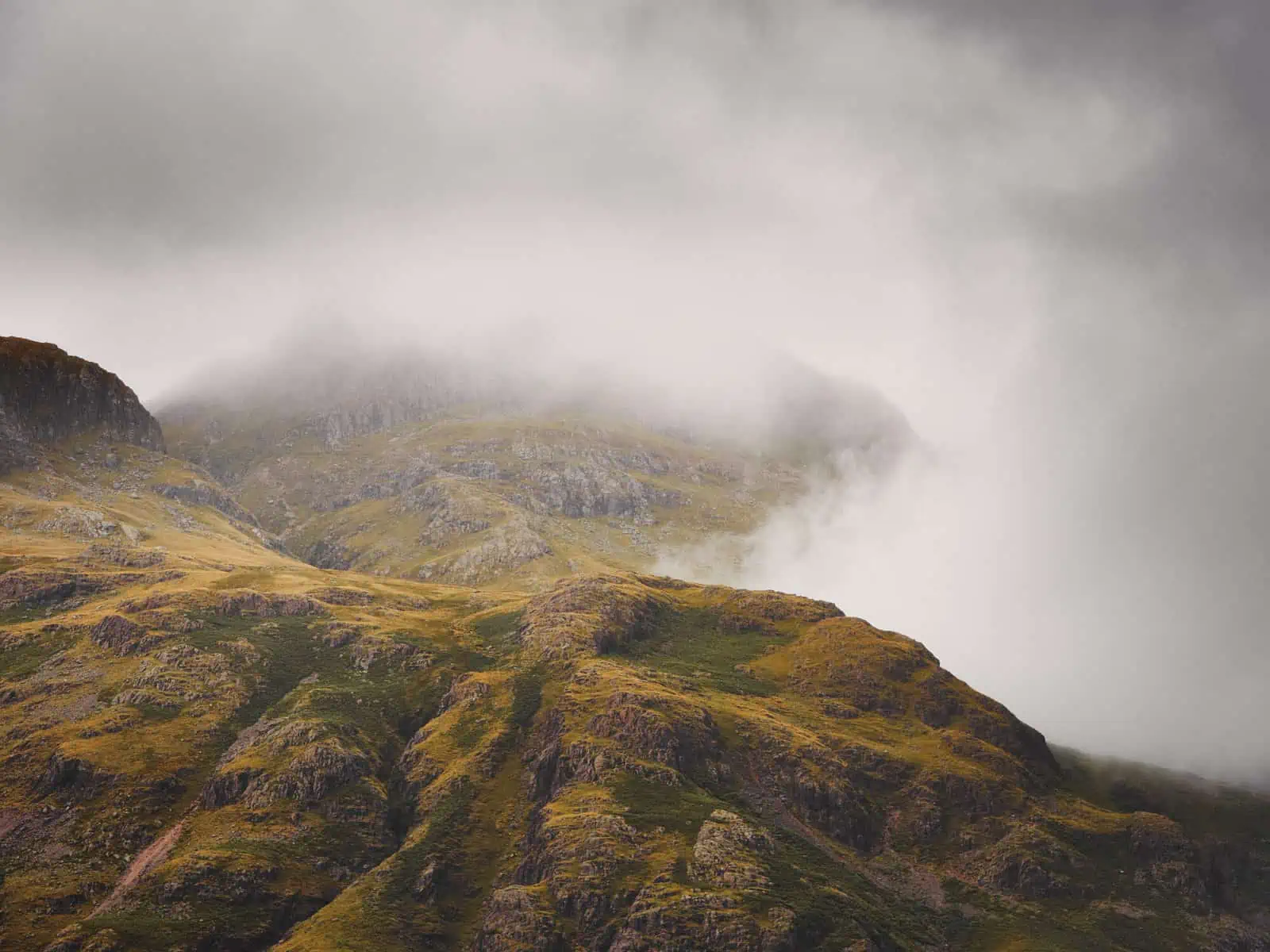
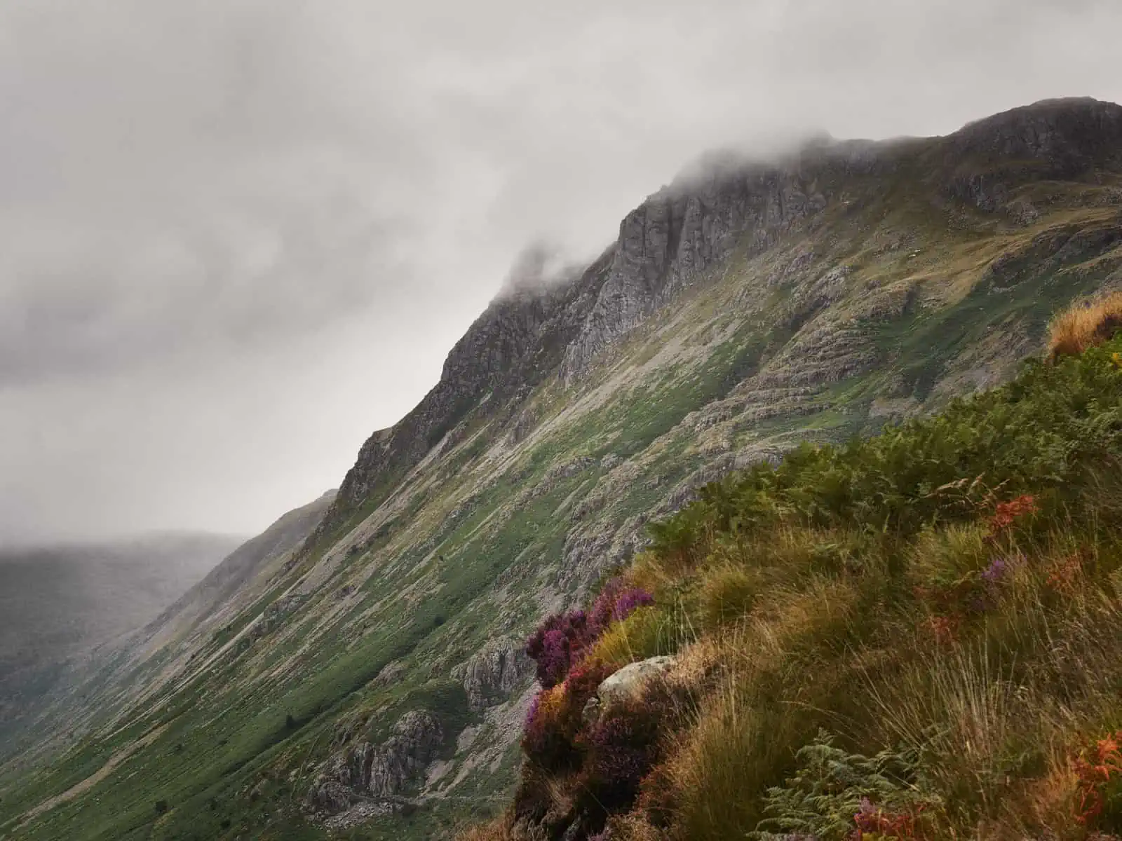
ID: A landscape image. A mountain view. In the foreground is a mountain shoulder which is brown and green. Cloud is moving over the mountain covering it and removing our view of the background mountains.
Allows us to avoid over tourism
The outdoors is ever popular as more and more people discover the benefits of reconnecting in this way. This is fantastic – the outdoors and nature should be for everyone. However, with that popularity can come over tourism in certain areas. Routes become ultra-popular for a variety of reasons, but this can also lead to quite a substantial environmental impact. It can also have a massive impact on the enjoyability of that route, too. Recently, we were in Snowdonia National Park for an assignment. We’d plotted our own routes, as usual, to give us what we needed to meet the brief. We knew that the park was very busy, so we planned a route that was far enough away from the ‘big hitters’ in the park that this wouldn’t have an impact on us. From the top of the mountain we climbed on the second day of the trip, we could see Mount Snowdon. The trail we were on was completely silent – maybe only having seen a small handful of people so far at different connecting parts and junctions. We effectively had this big, wide open space of mountain peaks and gorgeous views all to ourselves. It felt fantastic. We were shooting with a very long lens to complete some of the work for the assignment and we turned our lens to Mount Snowdon. We could see a long, long line, spanning for quite a while before the summit, of people waiting to get to the top and that hammered this point home to us. The distribution of tourism is an incredibly important subject that we won’t get into great detail about now but planning your own routes can really help with potentially avoiding very busy areas whilst still having an incredible experience.
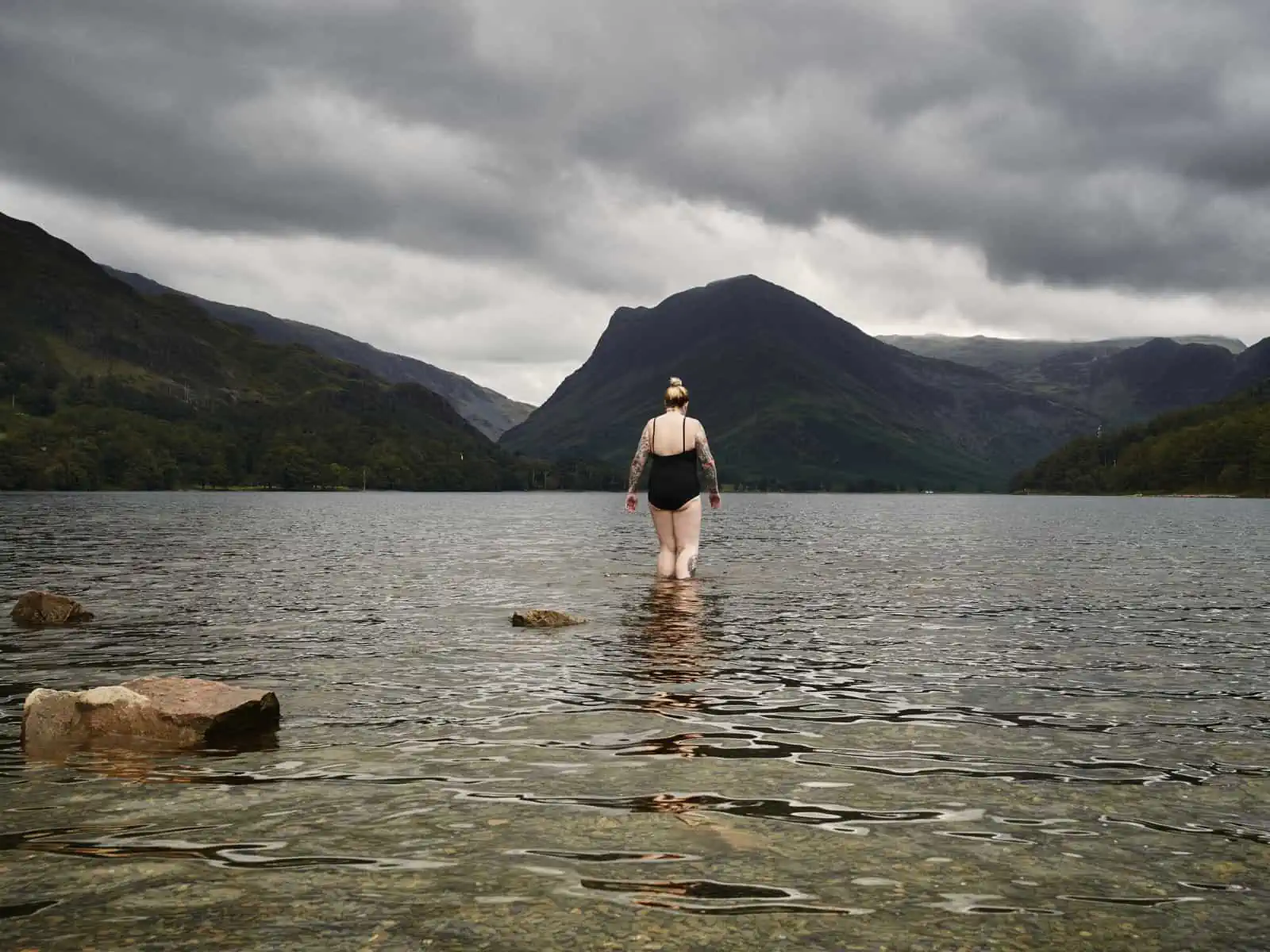
ID: A landscape image. Fay is stood central in frame in a mountain lake. There are ripples on the slightly turquoise water. Fay is wearing a black swim suit. In the background are mountains that meet the lake. It is overcast and these are in shadow.
How to work out what you want from an adventure
The first step in beginning to plan your own adventures is to work out what it is that you love from your time outdoors. Within this, you don’t have to think about plotting something involved and ambitious, especially if this is the first time you’ve done something like this, you can absolutely start off small! Sitting down and actively putting a bit of time aside to really evaluate what you’ve loved on previous hikes can be beneficial here and allow you to make a list of the things you love. If you’re stuck or don’t know where to start, think about some of the trails you’ve been on and places you’ve been to that you’ve really enjoyed. Were there any parts that really stood out for you? Did you enjoy a ridge scramble? Did you enjoy a section with waterfalls and the sound that came with it? Starting to make a list of these things is helpful to start getting a sense of what it is that you enjoy.
If you usually go on adventures with someone else, this is of course something that you can do together, but we’d really advise that you do this exercise for yourself first. That way, you can get honest about what you like and what you don’t so that when you’ve got your list, you can bring it to the table and look to combine each person’s needs.
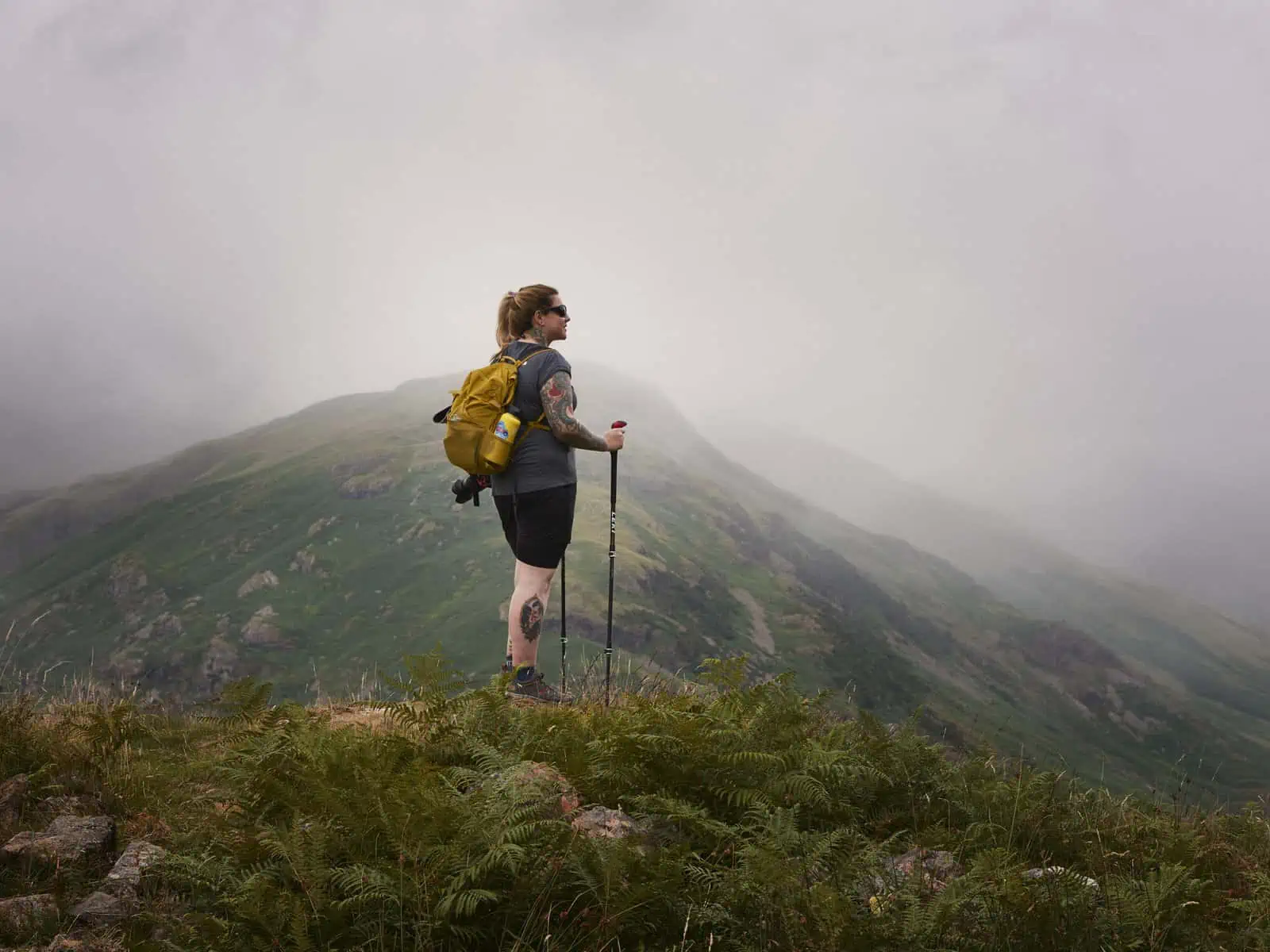
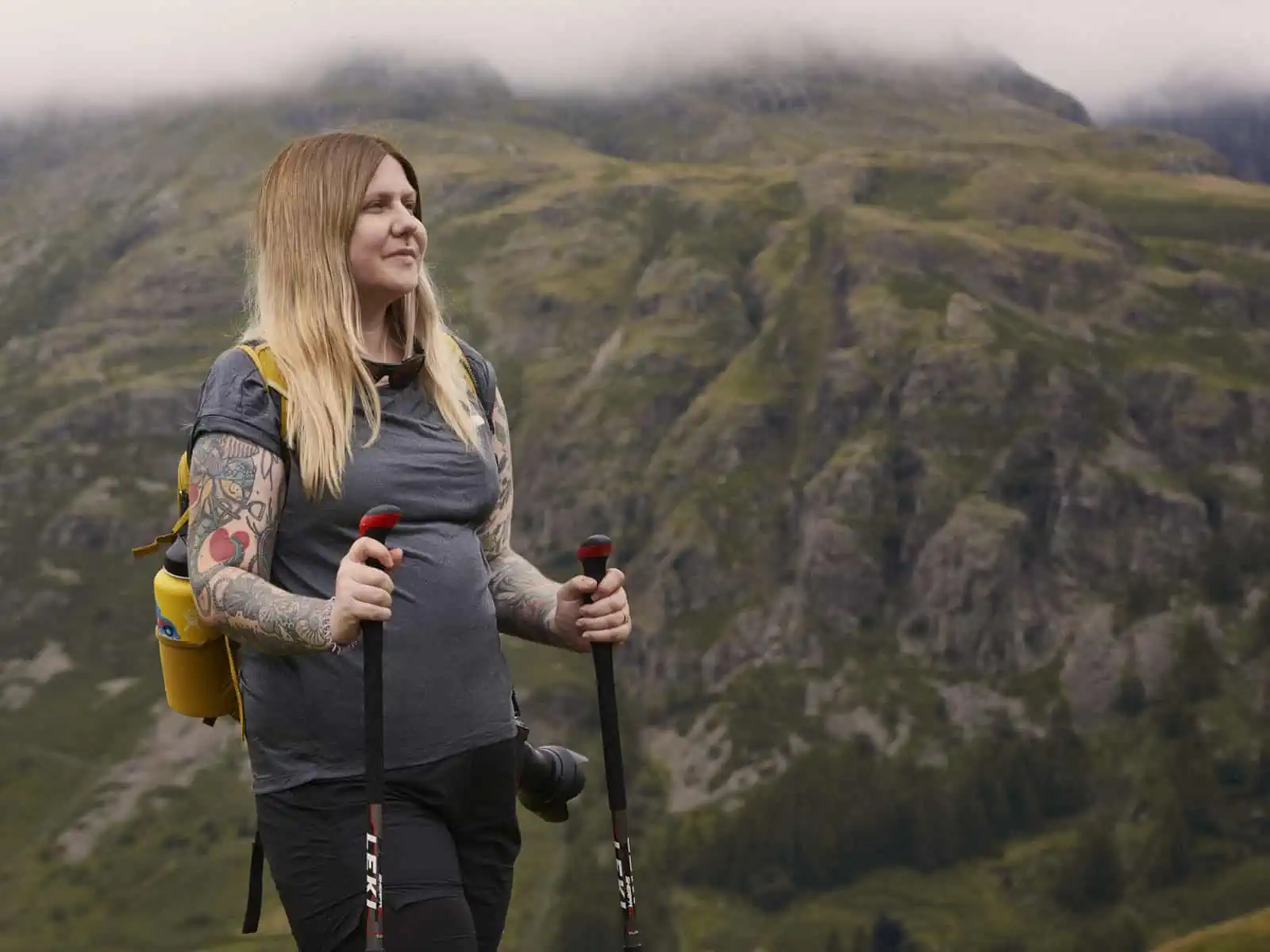
ID: A landscape image. Fay stands on top of a rocky crag looking out at the view. Fay is wearing black shorts, a yellow bag, a grey top and is using hiking poles. The views around are of mountains and it is foggy.
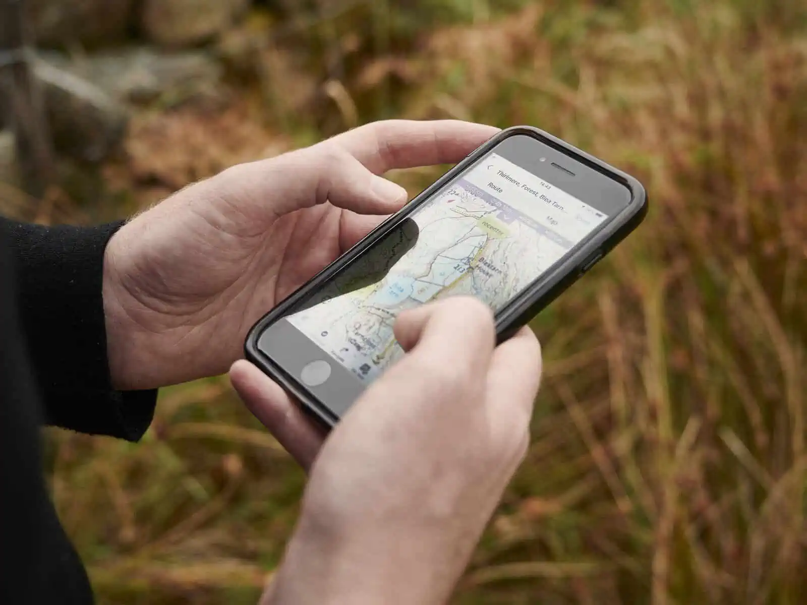
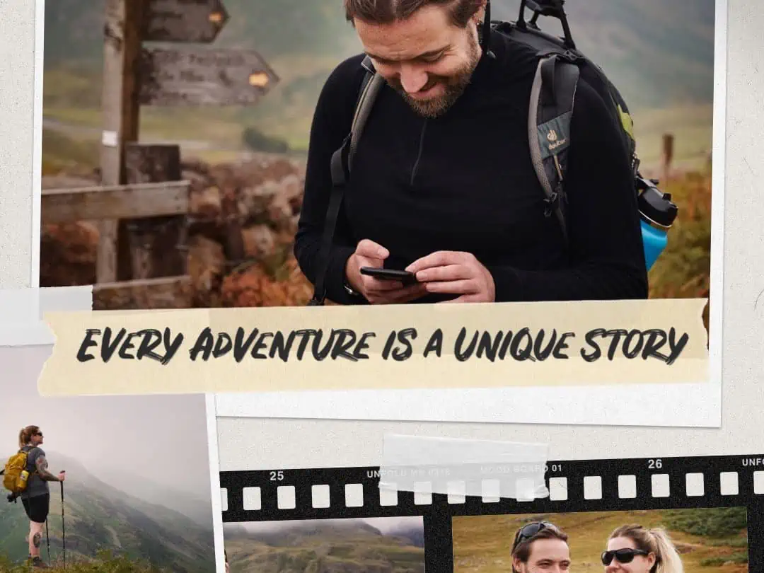
ID: A landscape image. A close up of hands holding a phone looking at a route on Outdooractive. The background is out of focus green and reddish brown grass.
When you’re starting to form a list of the things you love, explore your why – why do you love steep rocky paths? Why do you love waterfalls? Forests? For us, a steep rocky path allows us to connect mindfully to what we’re doing and can often make an ascent feel much quicker for us. It can also really get us in the moment and set the tone for the whole experience.
For example, for the three routes we chose for this project, we created them in areas that allowed us to experience these things:
Grassmere, Easedale and Crag
- Nice town and somewhere to get good coffee!
- Forested sections
- Flowing stream, powerful waterfall sounds
- Natural swimming pools
- Tarns and lake views
- Craggs and knott views
- Panoramic views
- Test skills with steep paths
Thirlmere, Forest, Blea Tarn, Waterfalls
- Waterfalls
- Forest
- Lakes
- Scrambling/rough paths
- Tarns/lakes
- Plenty of time to swim
- Mountain views
Wrynose, Langdale and Blea Tarn
- Long route
- Lofty views
- Lakes and tarns for swims
- Forests
- Rough, craggy paths and gentle scrambles
- Tests heights
- Lots of sounds of water
ID: A landscape image. A mountainous scene is pictured on the right-hand side of the image. In the foreground is moss and purple flowers. In the background, the green hills are rocky and covered with fog and the image is moody.
How to get inspired
By this point, you’ll have your list of ideas of elements you really love, but how do you start to turn these into actual routes and adventures you’re going to do?
The first thing we always do is familiarise ourselves with a map of the place we’re going to visit. Outdooractive allows you to scroll around with ease within the map function on the bottom left of your profile screen and the handy search tool at the top, once you’re within the maps, allows you to zoom in on areas. Once you’ve searched, or even if you scroll yourself, you can use the helpful ‘show content’ feature at the top of the map to show you some of the routes people have already planned in any given area. This can be helpful as it can give you a taster of what there is or inspire you a little bit on your way to planning a route yourself.
One of the things we love the most about planning our own routes is that we can look around the map, zoom in, zoom out and get curious. We’ll generally do some online searches as well around specific area names, mountain peaks or areas marked on a map to get a sense of what is there and how it looks, and this can start to inform as we plan.
We do this very intuitively – because we already have a level of understanding as to what a lot of the signs and symbols and markings means on a map, it means we can really start to visualize. We’d really recommend getting more familiar with some of the symbols used in mapping as this is actually very helpful when on the trail, reading a map too. Generally, when we’re planning, looking at the way gradients increase can really give us a sense of a mountain – if it’s a ridge section, if it’s going to be steep etc.
It’s also well worth switching between the different maps that are available. The Pro and Pro+ subscriptions to Outodooractive come with additional maps. In the UK, the topo maps are provided by the Ordnance Survey whilst Harvey Maps are available to Pro+ subscribers. These maps show different levels of detail relative to the standard maps and we think that they can provide a valuable resource for visualizing your route – you can easily search the map keys to find out what various symbols or types of trails mean.
ID: A landscape image. Fay stands to the right of the frame, wearing shorts, grey top, yellow bag and hiking poles. Fay is looking out at the view and smiling, In the background is slightly out of focus mountain scene.
How to plot your own adventures
Once you’ve got an idea of what you’d like to try and make work and how it could fit together, it’s time to start plotting the route. If you look at the bottom of the screen on the mobile and handheld device version of Outdooractive, you’ll see the ‘plan’ tab. On the desktop version, this can be found by locating to ‘routes’ tab in the top left horizontal menu, dropping down and selecting ‘route planner’. You can locate where you’d like to start your route from by pressing the circular button at the top right of the screen called ‘ABC’. If you input your start location into the ‘A’ input field that comes up, you’ll then be able to tap the map again when it has been located to take you back to your planning mode. On the desktop version, the A-B locator is seen at all times on the left hand side of the screen and can be used in the same way. Once you’ve located where you want to start your route from, you can then press/click down on your first ‘waypoint’ on the map (where you want to start to route from) and this will start to create the route. Keep pressing down along the trail on the map where you want to plan, and you’ll see that Outdooractive’s route planning tool snaps onto the trail – keep doing this until you’ve completed the trail. Once you’ve finished, hit ‘save plan’ on the bottom right. You can then enter a title, summary, and any other relevant information, and then hit ‘save plan’ at the bottom of the screen. You’ll then be taken back to the main profile screen.
We now need to create a route from the plan you’ve just made. Underneath your profile picture (which can be found on the mobile version by pressing ‘my page’ at the bottom of the screen or on the desktop version, the top right side of the screen where your name and profile picture are displayed) you’ll see something called ‘plans’, if you press this, it’ll take you through to your plans. You’ll likely see the route you just created at the top, press this and at the bottom of the screen you’ll see an option called ‘create route’. In the desktop version, this is located on the top right side of the screen as a green button once you’ve clicked through to see the plan. You can then go through and hit save. This will take you back through to your map view, to which, on the mobile app, you can hit ‘download’ in the bottom left corner so you have your map saved for offline use when on the trail (essential as many wilderness areas do not have a reliable cellular connection). If you’re planning your route on another device, you can easily share between devices by scrolling down to the bottom of your profile page and pressing ‘sync’ (we love this feature as we generally plot on a larger tablet).
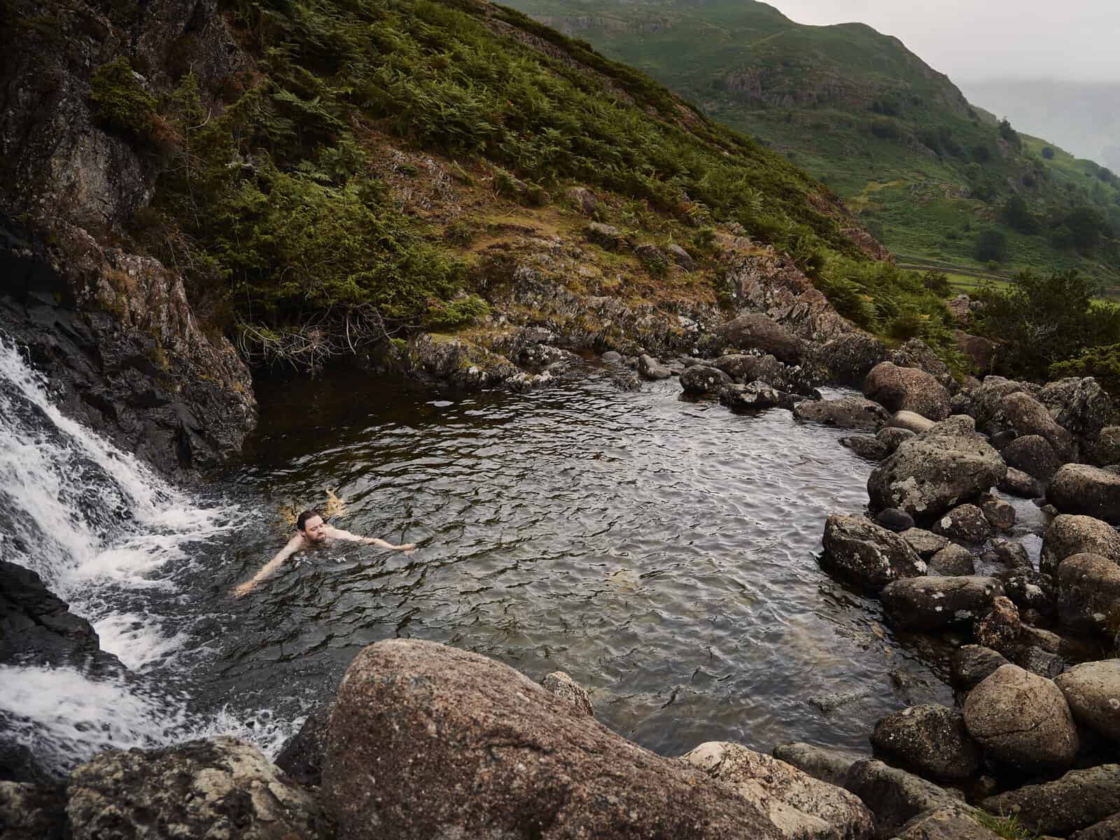
ID: A landscape image. Looking down on Matt who is swimming in a waterfall pool. In the foreground is a waterfall and pool and in the background we can see a mountain view.
Planning your own adventures really does give you the opportunity to tell the story you want to tell from your time outdoors. It has really changed the way we connect and experience the mental and physical benefits of nature. Whilst it can seem a little daunting to begin with, this way of planning and experiencing can give you pretty much unlimited possibilities and bring a lot more variety to the way you experience nature.
Let us know in the comments if you have any questions at all about planning your own routes or if you have any hesitations at all!
Routes featured in this project: