This post is sponsored by Visit California all opinions are our own.
Joshua Tree National Park is one of the most popular National Parks in the United States. It’s not hard to see why; incredible, sometimes mystical rock formations stacked in almost unbelievable ways against a desert backdrop that seems to stretch for longer than you can possibly imagine. With this, though, comes overcrowding, long entry lines to get onto the main Park Boulevard and, for a lot of people, the solitude that is sought from nature isn’t to be found without hours of hiking into the backcountry (which isn’t always possible).
Situated close to Palm Springs, Joshua Tree National Park is one of those must see places for a lot of people, and if this is your first visit we’re not for one second trying to suggest that you don’t visit the park – in fact, we have a whole article about ithere. However, if you have a few extra days, or even one extra day there is so much more to see and do in the area than just Joshua Tree. In the area, you’ll find a huge range of State Parks, National Monuments and areas of incredible beauty waiting to be explored with a much quieter temperament.With towering, high altitude mountains through to lush palm oasis. There is so much diversity in the landscape here that you’ll be able to find an adventure to suit your tastes.
Below, we’ve put together our four favorite areas for hiking and adventure to give you a whole range of alternate or add on options to Joshua Tree National Park. This list just scratches the surface of what is available in the area and you’ll be itching to go deeper and explore further and planning a return trip before you know it.
Sand to Snow National Monument – White Water Canyon
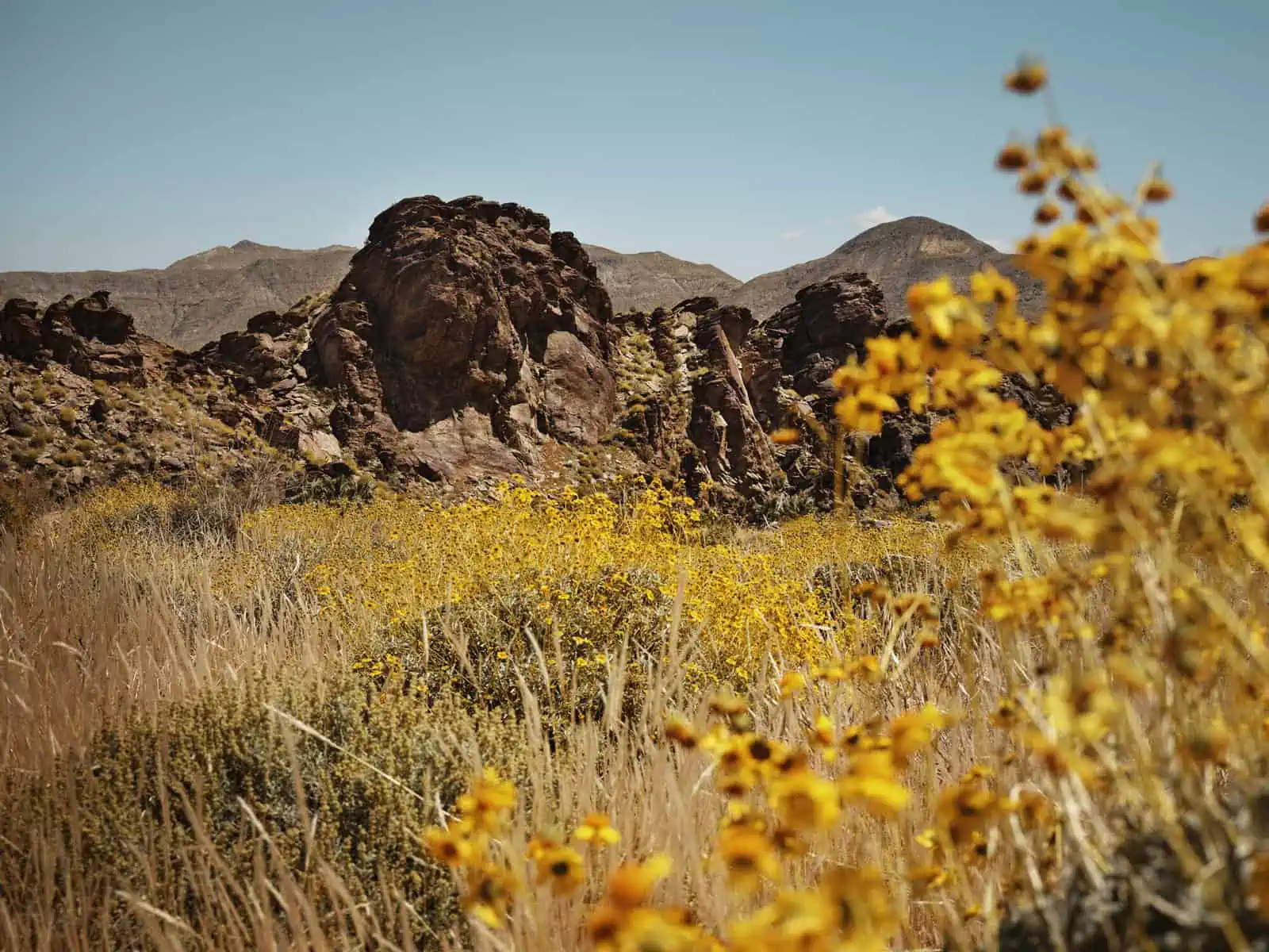
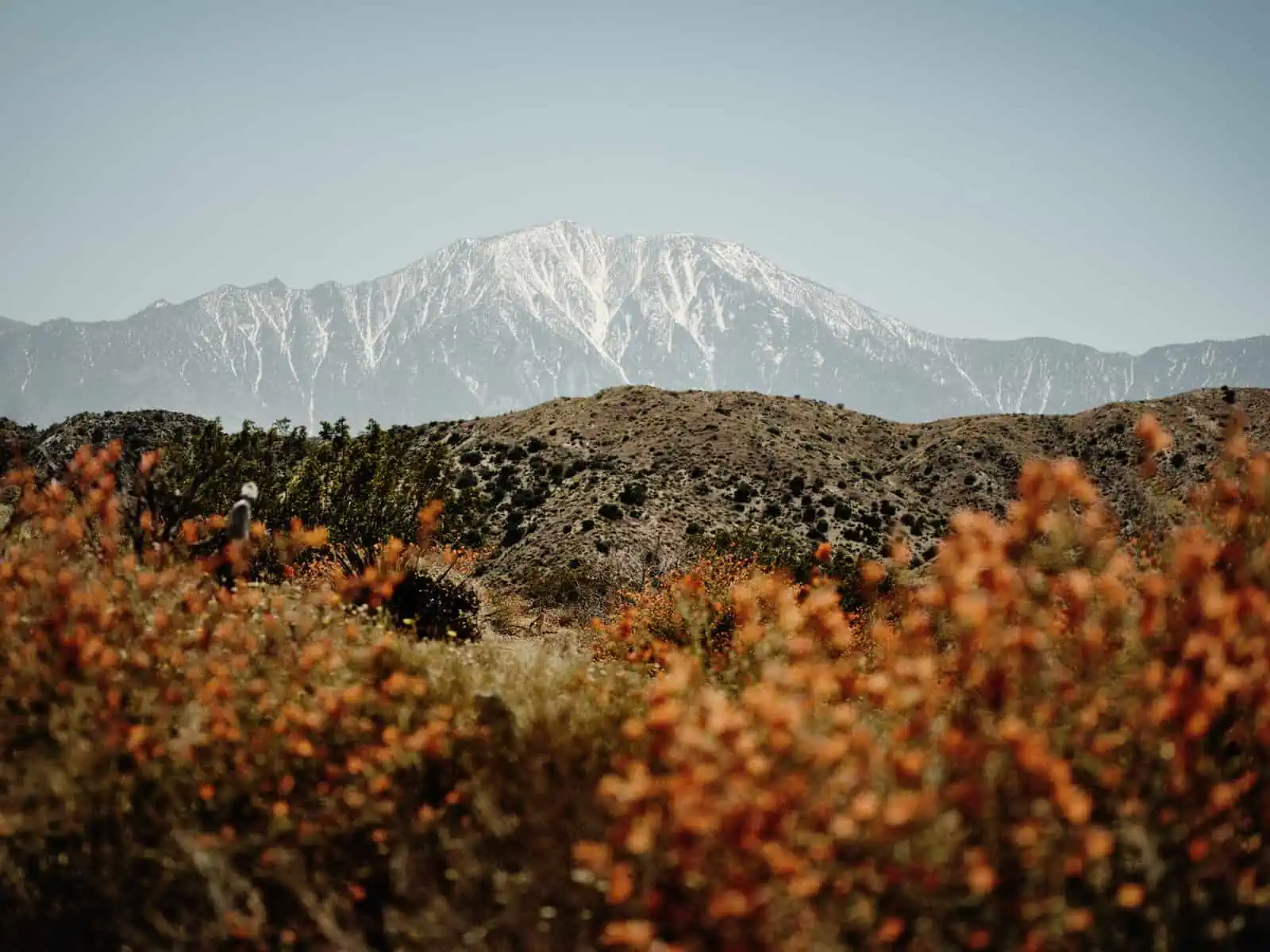
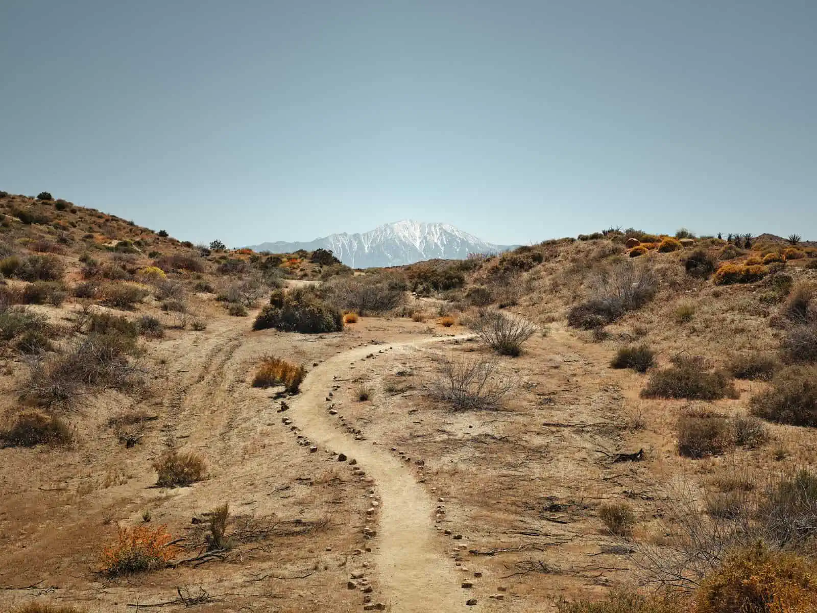
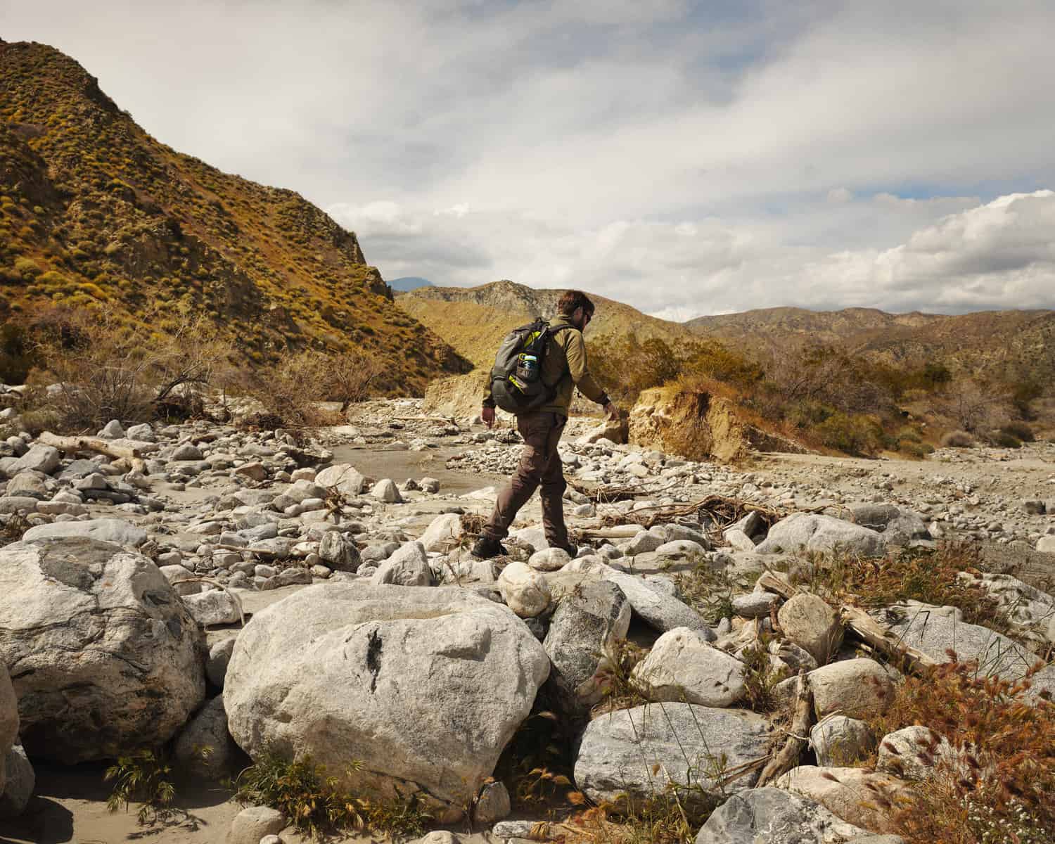
Within the San Gorgonio Wilderness, Sand to Snow Monument can give you exactly what it says on the tin at various points through the year. It’s an amazing sight to see, and something that we still find weirdly incredible, where desert landscapes meet snowy mountains, due to the huge changes in elevation in this area, spanning from the desert floor up to the summit of San Gorgonio at 11,502 ft (3506m). White Water Canyon also connects with the Pacific Crest Trail – a long distance hiking route all the way from Canada to Mexico and you can find yourself hiking parts of the PCT with not a crazy amount of effort from here. The hiking here is truly spectacular and we’ve very rarely seen anyone else on the trail – which allows for great solitude if that’s what you’re craving. The turn off for Whitewater Canyon is 5 miles west of Palm Springs on i10. You’ll then take Whitewater Canyon Road around 5 miles North to get to the trailhead. From here, you can take the Canyon Loop trail which is roughly 3.5 miles for some truly incredible views as you ascend into the mountainous desert landscape. It’s also possible to make many longer distance routes from here, turning this into much more of a challenge. A map is recommended to plan your route and to know the risks before travelling – travelling through the backcountry can take skill in map reading, survival and a certain level of physical fitness. Due to this being a desert, there are few opportunities for water collection, though in the Spring, thanks to snow melt, you may find some of the otherwise dry streambeds flowing with water. It is strongly advised that all water needs to be filtered. There is also a campsite further into the trail, which has toilet facilities. For snowy parts of Sand to Snow, head to Forest Falls.
Best time to visit:
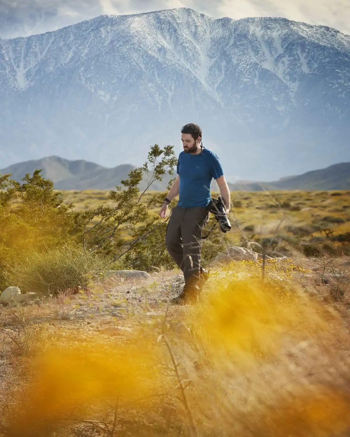
The temperatures at lower elevations can get extremely hot in the summer months, so if you’re planning to stay relatively low down, we’d advise visiting in Winter or Spring – it is not advised to travel during the summer months, especially during the hottest parts of the day – this is a desert and with it comes a harsh environment. There is also a chance that around April, you’ll be in for a treat with a wildflower bloom, like we were when we first visited in Spring. The colors truly light up and paint this beautiful desert landscape. At higher altitudes, it is possible to meet snow, so be prepared! There is little to no shade in this area. Be sure to take plenty of water and food and stay hydrated.
Sand to Snow National Monument – Big Morongo Canyon Preserve
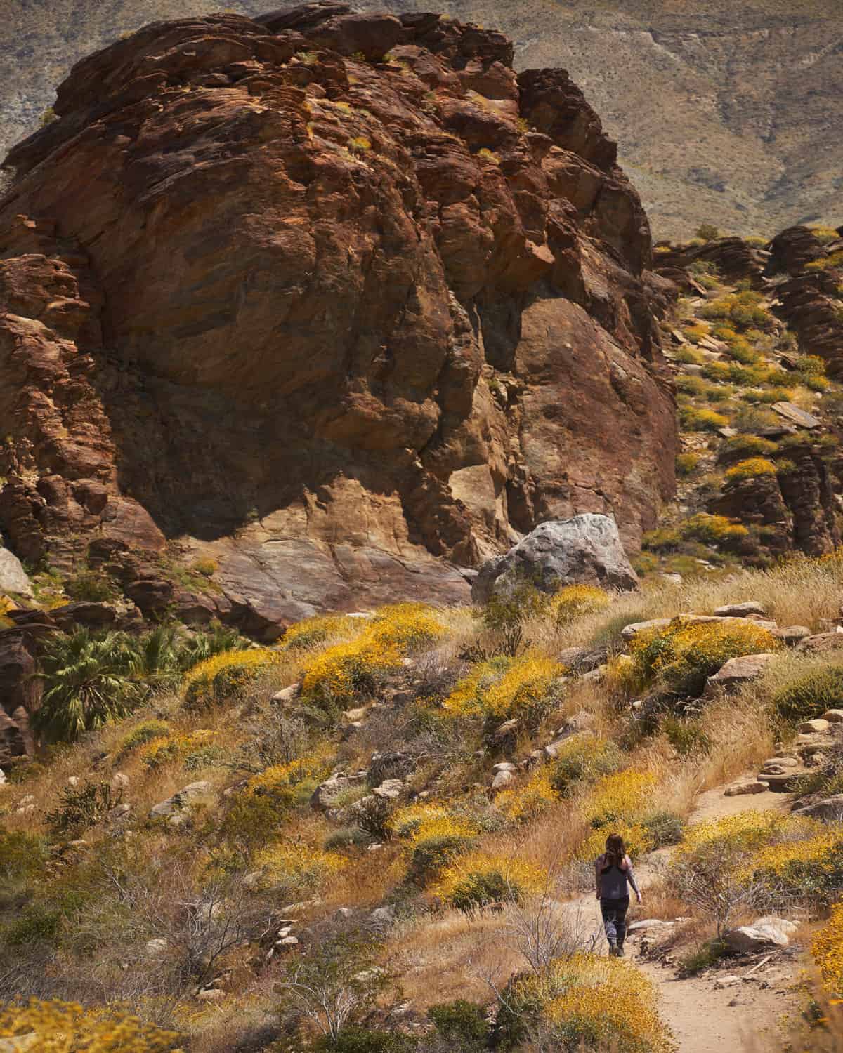
Big Morongo Canyon, although still in Sand to Snow couldn’t be more different from Whitewater Canyon, which really starts to show the diversity of the area. Big Morongo Canyon is a leafy oasis for bird lovers, but it also has some fantastic trails which are pretty quiet. The Big Morongo Canyon Trail is one of our favorites and at around 11 miles, makes for a tranquil day of hiking. The elevation gain is pretty manageable too (at around 1,223ft) and earlier in the year (around April), you have the possibility of seeing snowy peaks towering above potential wildflower blooms. You may even get to witness Big Horn Sheep in their natural habitat. Even if you just visit this area to do some of the shorter trails, we’d highly recommend; it is a great oasis of calm and attracts some incredible wildlife, leaving you with a very different experience from some of the harsher desert environments around the area.
Best time to visit:
This environment can get very hot, so it’s advised to visit in the cooler months between November – May/June. If you want to have the best chance of seeing wildflowers and snowy peaks, April would be the best time. It can get very hot in the desert in the summer months, and parts of this trail are exposed, and we’d strongly advise against travelling in the hottest part of the day. It’s also advisable to start the hike or to visit the area earlier on when the canyon walls will still provide some shadow and shade. Be sure to take a lot of water and food to stay hydrated.
Indian Canyons
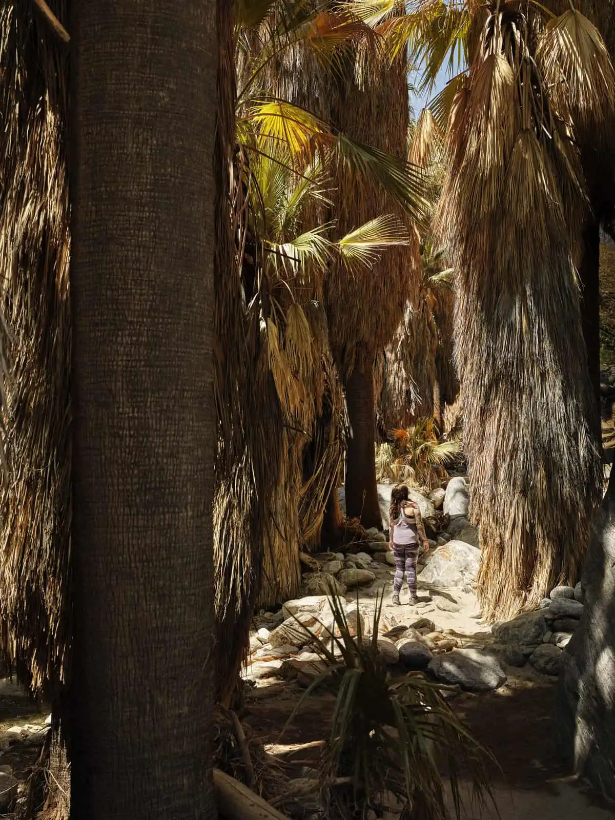
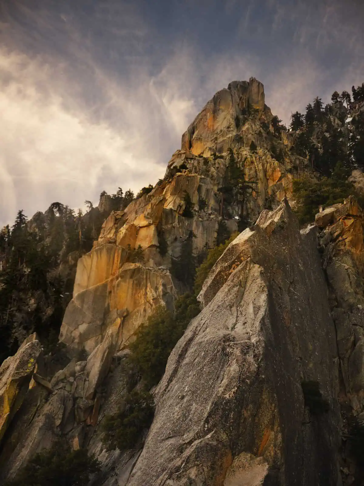
Indian Canyons became one of our favorite places in the area due to the magical combination of huge palm trees and incredible mountain and rock formations. Out of all of the areas we’ve outlined here, this area is by far the busiest, but don’t let this put you off, you can still find solitude and very soon into a lot of the trails, you’ll find the amount of people you’ll see thins out dramatically. The park is very accessible and has a huge range of trails available, which we think is what adds to its popularity. The hiking trails span in length between short and relaxed to long and more strenuous. Some of our favorite hiking trails include Murray Canyon, West Fork and Hahn Buena Vista. Murray Canyon offers what almost feels like a hidden oasis of trees and the sound of running water, whilst Hahn Buena Vista offers a much more rugged experience, rewarding experienced hikers with 360-degree views of the Santa Rosa Mountains. The reserve has a small entry fee (please check current prices before travel) and with that, you’ll be provided a map of the park. There is also a visitor center where you can be advised on current trail conditions and which trail might be right for you.
Best time to visit:
Some of the trails, which are much more shaded could potentially be visited for most of the year, but some of the trails offer no respite from the heat. The cooler months from November – May would be better for the more exposed trails. Be sure to take a lot of water and food to stay hydrated.
San Jacinto State Park via the Aerial Tramway
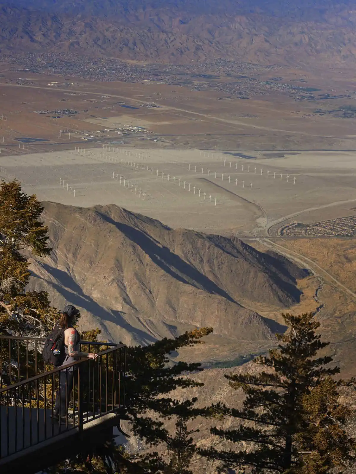
What we love about San Jacinto State Park is that it gives you the ability to catapult yourself into high altitude environments, which rapidly change from the desert down below. Even with the hot conditions down below, you can have a much cooler experience up here, meaning visiting in Summer is a much more achievable whilst in many nearby areas it is just too hot. The Aerial Tramway is a cable car route from the Coachella Valley up into the mountains, bringing you (relatively!) close to the peak of Mt. San Jacinto.The Cable car journey takes approximately ten minutes and climbs around 6000ft in this time.On route, you’ll have spectacular views over the desert.At the top, the first thing you’ll notice is how much colder it is relative to the bottom station – so make sure you’ve brought some extra clothing. Here you’ll find the starting point of several hiking routes which head out through lush pine forest – be aware that you are at high altitude here and don’t be surprised if you feel short of breath sooner than usual.If you don’t have much experience of high-altitude hiking, it is worth planning a shorter route than normal, as the thin air certainly does take its toll!It is possible to pick up a map from the station at the top, which contains many of the hiking routes up there. They’re all categorized by distance and the elevation gain so you can make a decision based on the time you have available and what you want to do. It is possible to bag San Jacinto Peak from here too, at 10,834ft ((3,302m) via a 10.5 mile trail there and back. Due to the altitude and amount of elevation gain, this isn’t for the inexperienced hiker, but an incredibly rewarding achievement none the less with amazing views. Also be aware that some of the longer routes needing overnight camping do require permits.
The Aerial Tramway is just one way into San Jacinto State Park, though. What we love about it is the accessibility it gives you to a range of trails for different abilities (and a great taste of the views).
This is a large area and you could easily spend weeks hiking here!
Best time to visit:
Summer months, unless you’re an experienced snow hiker. Due to the altitude, San Jacinto sees a significant amount of snow, and this winter (2018/19) saw more snow than it had for a long time. Whilst it is still possible to hike in the park in the Winter months, travel often requires snowshoes, crampons and possibly ice axes. Whilst this is an incredible experience, snow travel is tiring and not for the inexperienced hiker. In the Summer months, snow gives way to rock and cooler temperatures, making a welcome break from the high temperatures in the valley.
There are so many incredible places to visit in this area which are often overlooked in favor of Joshua Tree and you could easily spend a whole trip exploring these areas in more detail and creating your own adventures on top of our suggestions. There is so much diversity in the hiking here, from easy hikes to much more challenging achievements, so if it’s a workout you’re craving, you’re certainly covered here!